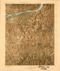
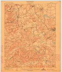
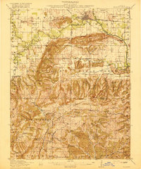
1925 Map of Cave In Rock
USGS Topo · Published 1925About this map
The Ohio River forms a dominant natural boundary in this mid-1920s survey, separating the high bluffs of Battery Rock in Illinois from the rolling hills of Crittenden County, Kentucky. The region is defined by a dense network of local landmarks, including over twenty rural schools such as Tower Rock School and Lilydale School, illustrating the dispersed settlement patterns of the era. The county seat of Marion serves as the primary hub, where the Illinois Central railroad cuts through the landscape to support the local economy. Beyond the riverfront at Fords Ferry, the map reveals early industrial activity at the Franklin Mines and Dunn Saving Ground. Significant geological features like Cave in Rock and the subterranean drainage at The Sinks highlight the unique karst topography that shaped the development of communities like Sheridan and Levias.
Find a feature on this map
85 named features on this map. Tap any name to fly to it.
Don’t see what you’re looking for? This feature index may not catch every label — zoom into the map to look around manually.
Map Details
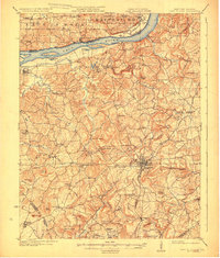
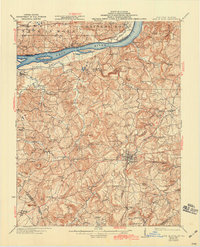
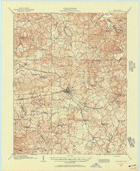
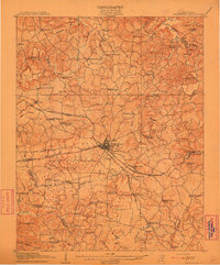
Editions of this 1925 Cave In Rock Map
3 editions found
Other maps of this area

1907 · Morganfield
USGS Topo · 1:62,500
1908 · Princeton
USGS Topo · 1:62,500
1909 · Providence
USGS Topo · 1:62,500
1910 · Princeton
USGS Topo · 1:62,500

1916 · Shawneetown
USGS Topo · 1:62,500
1916 · Fords Ferry
USGS Topo · 1:62,500
1916 · Golconda
USGS Topo · 1:62,500
1916 · Equality
USGS Topo · 1:62,500
1920 · Goloonda
USGS Topo · 1:48,000

1921 · Fords Ferry
USGS Topo · 1:48,000