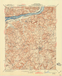
1925 Map of Cave In Rock
USGS Topo · Published 1942About this map
The Ohio River forms the vital artery of this Illinois-Kentucky borderland, where the iconic limestone bluff of Cave In Rock dominates the shoreline. This 1920s-era landscape reveals a region transitioning from river-based commerce to rail-driven industry, anchored by the seat of Marion and the operations at Franklin Mines. While the Illinois Central RR carves a path through the southern hills near Crayne and Repton, the riverfront remains defined by historic crossings like Fords Ferry.
Find a feature on this map
94 named features on this map. Tap any name to fly to it.
Don’t see what you’re looking for? This feature index may not catch every label — zoom into the map to look around manually.
Map Details
Editions of this 1925 Cave In Rock Map
3 editions found

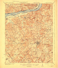
Other maps of this area

1907 · Morganfield
USGS Topo · 1:62,500

1908 · Princeton
USGS Topo · 1:62,500

1909 · Providence
USGS Topo · 1:62,500

1910 · Princeton
USGS Topo · 1:62,500

1916 · Shawneetown
USGS Topo · 1:62,500

1916 · Fords Ferry
USGS Topo · 1:62,500

1916 · Golconda
USGS Topo · 1:62,500

1916 · Equality
USGS Topo · 1:62,500

1920 · Goloonda
USGS Topo · 1:48,000

1921 · Fords Ferry
USGS Topo · 1:48,000