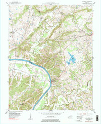
1954 Map of Dycusburg
USGS Topo · Published 1977About this map
The Cumberland River carves a sweeping arc through this mid-century landscape, serving as the border between Crittenden, Livingston, and Lyon counties. The riverfront settlement of Dycusburg sits at the heart of this corridor, while smaller communities like Tiline and Pineckneyville anchor the surrounding uplands. The terrain is defined by a dense network of extraction sites, particularly in the northern hills where fluorspar and mineral mining were active industries. Notable operations include the No 18 Mine and Hulet Mine, alongside older sites like the Nancy Hanks Mine.
Find a feature on this map
59 named features on this map. Tap any name to fly to it.
Don’t see what you’re looking for? This feature index may not catch every label — zoom into the map to look around manually.
Map Details
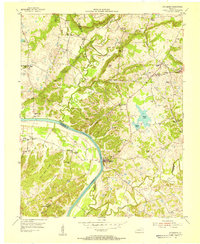
Editions of this 1954 Dycusburg Map
2 editions found
Other maps of this area

1916 · Fords Ferry
USGS Topo · 1:62,500

1916 · Golconda
USGS Topo · 1:62,500

1920 · Goloonda
USGS Topo · 1:48,000

1921 · Fords Ferry
USGS Topo · 1:48,000

1921 · Golconda
USGS Topo · 1:62,500

1925 · Cave In Rock
USGS Topo · 1:62,500

1928 · Eddyville
USGS Topo · 1:48,000

1929 · Smithland
USGS Topo · 1:62,500

1931 · Eddyville
USGS Topo · 1:62,500

1936 · Eddyville
USGS Topo · 1:48,000