1928 Map of Eddyville
USGS Topo · Published 1928About this map
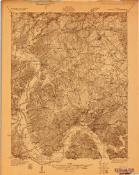
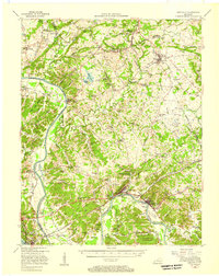
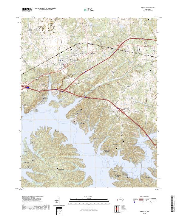
The Cumberland River carves a winding path through this 1928 landscape, serving as a primary artery for commerce and transit between Livingston and Lyon Counties. The river economy is punctuated by infrastructure like US Lock 1 and the Luka Ferry, while the uplands reveal a region defined by extraction and small-scale agriculture. This survey documents a dense network of early 20th-century rural infrastructure, from the fluorite-rich workings of the Nancy Hanks Mine and Silver Star Mine to an exceptional concentration of community schools such as Wilson Sch and Sardis Sch. Small settlements like Dycusburg and Fredonia anchor the map, showing the area before major hydroelectric projects transformed the river's character. Genealogists can trace family landmarks like Shelby's Store and numerous country churches including Graves Chapel and Macedonia Ch.
Find a feature on this map
86 named features on this map. Tap any name to fly to it.
Don’t see what you’re looking for? This feature index may not catch every label — zoom into the map to look around manually.
Map Details
Editions of this 1928 Eddyville Map
This is the sole edition of this map. No revisions or reprints were ever made.
Historical Maps of Eddyville Through Time
11 maps found
1928 Eddyville
Lyon County, KY
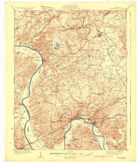
1931 Eddyville
Lyon County, KY
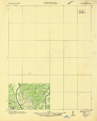
1936 Eddyville
Lyon County, KY
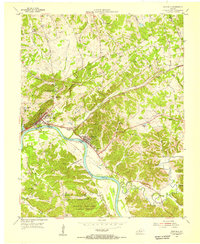
1954 Eddyville
Lyon County, KY
1955 Eddyville
Lyon County, KY
1967 Eddyville
Lyon County, KY
2011 Eddyville
Lyon County, KY
2013 Eddyville
Lyon County, KY
2016 Eddyville
Lyon County, KY
2019 Eddyville
Lyon County, KY
2022 Eddyville
Lyon County, KY