
1910 Map of Princeton
USGS Topo · Published 1910About this map
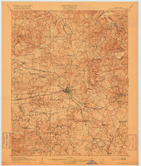
Princeton serves as the central hub of this 1908 survey, where the Illinois Central R R branches into the Hopkinsville Line and the Memphis and Louisville Line. This rail junction defined the local economy, connecting rural Caldwell County to major regional markets. The surrounding landscape is characterized by a high density of one-room schoolhouses and country churches, reflecting a deeply localized social structure before the era of school consolidation.
Find a feature on this map
68 named features on this map. Tap any name to fly to it.
Don’t see what you’re looking for? This feature index may not catch every label — zoom into the map to look around manually.
Map Details
Editions of this 1910 Princeton Map
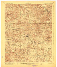
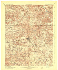
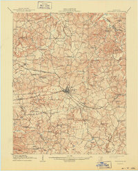
5 editions found
Other maps of this area

1907 · Earlington
USGS Topo · 1:48,000

1908 · Princeton
USGS Topo · 1:62,500

1909 · Dawson Springs
USGS Topo · 1:48,000

1909 · Earlington
USGS Topo · 1:62,500

1909 · Providence
USGS Topo · 1:62,500

1911 · Dawson Springs
USGS Topo · 1:62,500

1916 · Fords Ferry
USGS Topo · 1:62,500

1921 · Fords Ferry
USGS Topo · 1:48,000

1925 · Cave In Rock
USGS Topo · 1:62,500

1928 · Eddyville
USGS Topo · 1:48,000