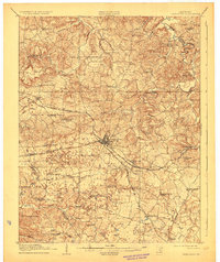
1910 Map of Princeton
USGS Topo · Published 1928About this map
Princeton serves as the central hub of this West Kentucky landscape, where three major rail lines converge during a period of significant regional growth. The Illinois Central, Louisville and Nashville, and Evansville and Princeton Line create a complex transit network that supports a dense distribution of rural institutions. The map reveals an incredible density of local education and faith, evidenced by the dozens of family-named schools and churches like Silver Star School, Brumfield Church, and Bellbuckle School. The terrain is defined by a network of winding waterways such as Eddy Creek and Donaldson Creek, which carve through the countryside to reach the edges of the Hopkins Co line. From the northern settlement of Farmersville to the southeastern waters of Otter Pond, this 1908 survey preserves the precise locations of agrarian communities that formed the backbone of the county.
Find a feature on this map
86 named features on this map. Tap any name to fly to it.
Don’t see what you’re looking for? This feature index may not catch every label — zoom into the map to look around manually.
Map Details
Editions of this 1910 Princeton Map
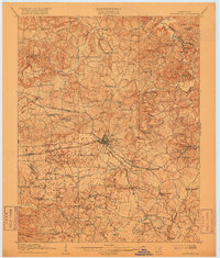
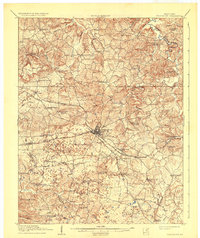
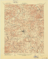
5 editions found
Other maps of this area

1907 · Earlington
USGS Topo · 1:48,000

1908 · Princeton
USGS Topo · 1:62,500

1909 · Dawson Springs
USGS Topo · 1:48,000

1909 · Earlington
USGS Topo · 1:62,500

1909 · Providence
USGS Topo · 1:62,500

1910 · Princeton
USGS Topo · 1:62,500

1911 · Dawson Springs
USGS Topo · 1:62,500

1916 · Fords Ferry
USGS Topo · 1:62,500

1921 · Fords Ferry
USGS Topo · 1:48,000

1925 · Cave In Rock
USGS Topo · 1:62,500