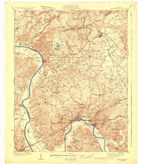
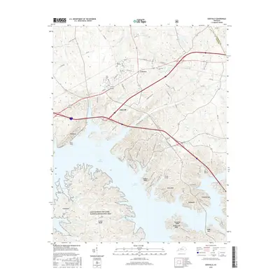
1931 Map of Eddyville
USGS Topo · Published 1931About this map
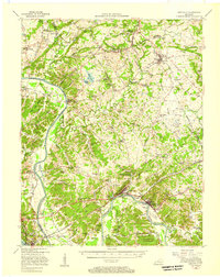
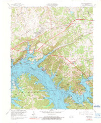
The Cumberland River carves a deep path through Lyon and Livingston Counties, serving as the central artery for transportation and industry before the creation of modern reservoirs. This 1928 survey captures a landscape defined by riverside settlements like Eddyville and Kuttawa, where the Illinois Central Railroad provided critical terrestrial connections. The map reveals a robust mining economy in the northern hills, notably near Frances and Mexico, where the Nancy Hanks Mine, Hodge Mine, and Eva Tanguay Mine operated alongside several others.
Find a feature on this map
92 named features on this map. Tap any name to fly to it.
Don’t see what you’re looking for? This feature index may not catch every label — zoom into the map to look around manually.
Map Details
Editions of this 1931 Eddyville Map
This is the sole edition of this map. No revisions or reprints were ever made.
Historical Maps of Eddyville Through Time
11 maps found
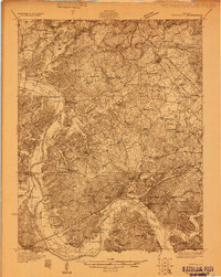
1928 Eddyville
Lyon County, KY
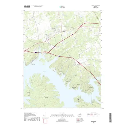
1931 Eddyville
Lyon County, KY
1936 Eddyville
Lyon County, KY
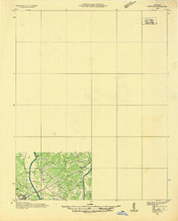
1954 Eddyville
Lyon County, KY
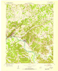
1955 Eddyville
Lyon County, KY
1967 Eddyville
Lyon County, KY
2011 Eddyville
Lyon County, KY
2013 Eddyville
Lyon County, KY
2016 Eddyville
Lyon County, KY
2019 Eddyville
Lyon County, KY
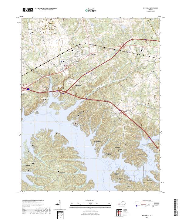
2022 Eddyville
Lyon County, KY