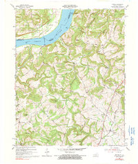
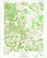
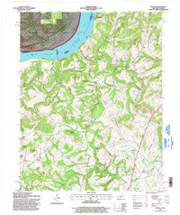
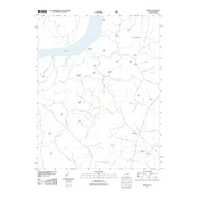
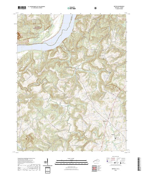
1954 Map of Repton
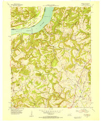
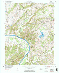
USGS Topo · Published 1990About this map
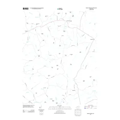
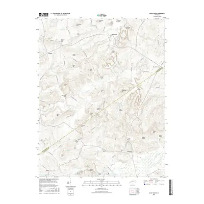
The Ohio River forms the northern boundary of this Kentucky-Illinois borderland, where the Illinois Central railroad cuts a diagonal path toward the settlement of Repton. The landscape is defined by deep drainages and named ridges, with local life centered around rural institutions like Browns Sch and Forest Grove Sch, as well as the Green Chapel Ch and Mt Zion Ch. The river's influence is evident at Fords Ferry and the small riverfront community of Weston.
Find a feature on this map
55 named features on this map. Tap any name to fly to it.
Don’t see what you’re looking for? This feature index may not catch every label — zoom into the map to look around manually.
Map Details
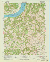
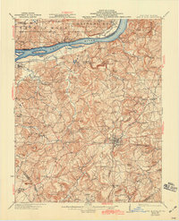
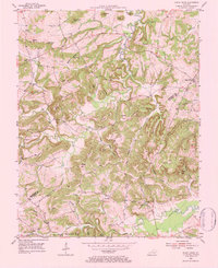
Editions of this 1954 Repton Map
3 editions found
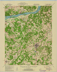
Historical Maps of Mattoon Through Time
28 maps found

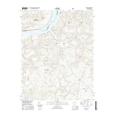
1921 Fords Ferry
Crittenden County, KY
1925 Cave In Rock
Crittenden County, KY
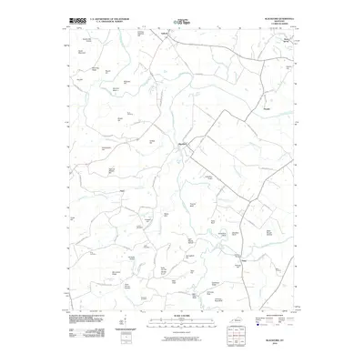
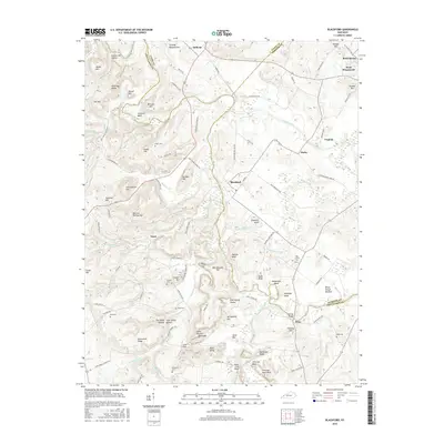
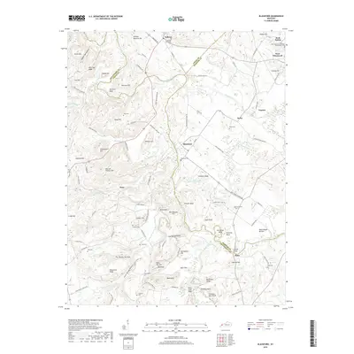
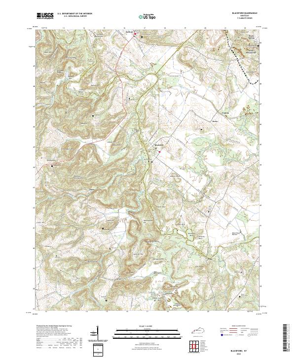
1954 Blackford
Crittenden County, KY
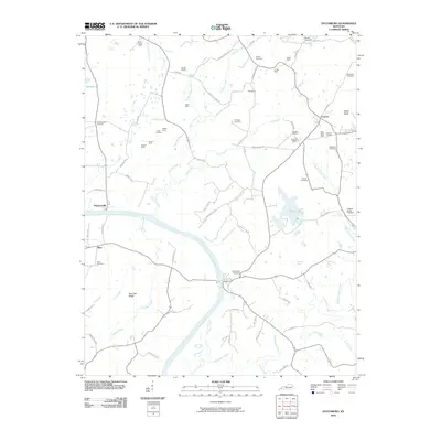
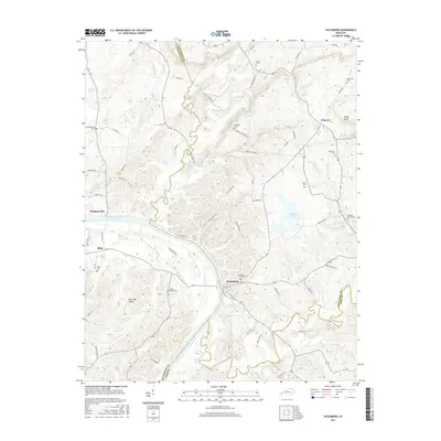
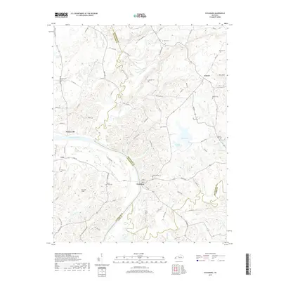
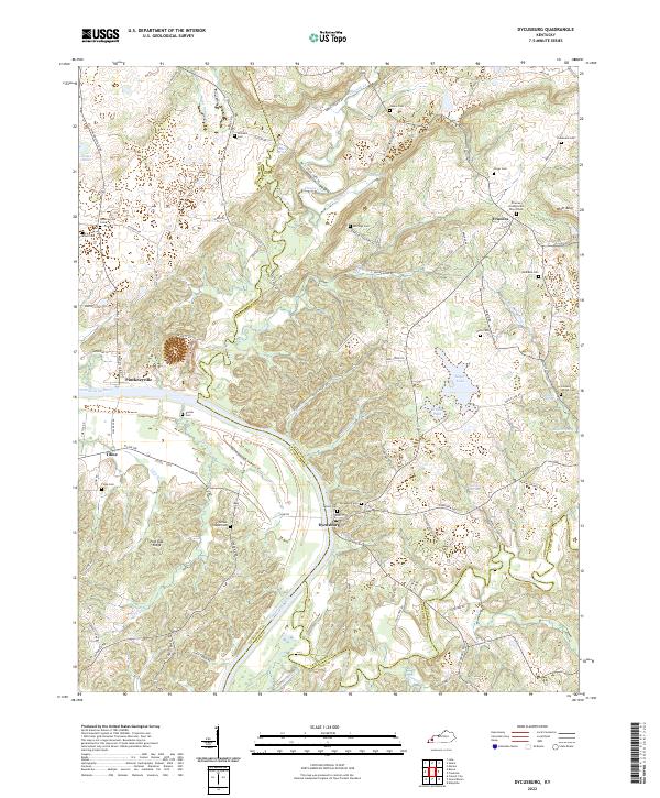
1954 Dycusburg
Crittenden County, KY
1954 Repton
Crittenden County, KY
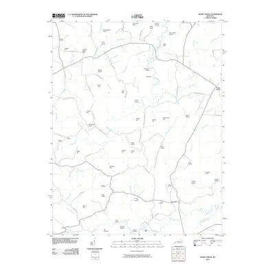
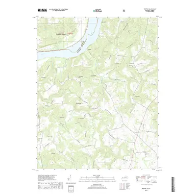
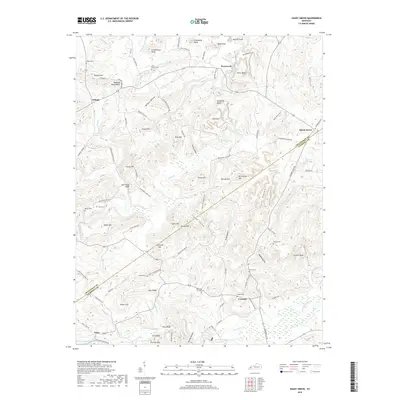
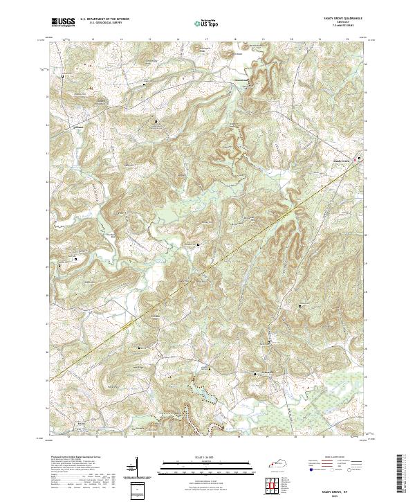
1954 Shady Grove
Crittenden County, KY
1958 Cave In Rock
Crittenden County, KY
1996 Repton
Crittenden County, KY
2010 Blackford
Crittenden County, KY
2010 Dycusburg
Crittenden County, KY
2010 Shady Grove
Crittenden County, KY
2011 Repton
Crittenden County, KY
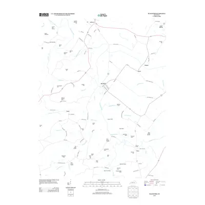
2013 Blackford
Crittenden County, KY
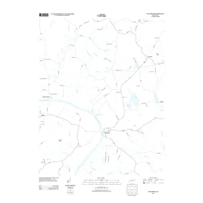
2013 Dycusburg
Crittenden County, KY
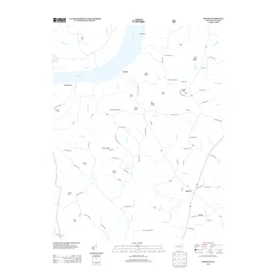
2013 Repton
Crittenden County, KY
2013 Shady Grove
Crittenden County, KY
2016 Blackford
Crittenden County, KY
2016 Dycusburg
Crittenden County, KY
2016 Repton
Crittenden County, KY
2016 Shady Grove
Crittenden County, KY
2019 Blackford
Crittenden County, KY
2019 Dycusburg
Crittenden County, KY
2019 Repton
Crittenden County, KY
2019 Shady Grove
Crittenden County, KY
2022 Blackford
Crittenden County, KY
2022 Dycusburg
Crittenden County, KY
2022 Repton
Crittenden County, KY
2022 Shady Grove
Crittenden County, KY