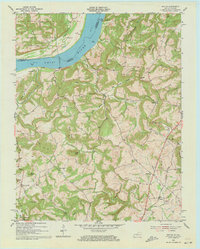
1954 Map of Repton
USGS Topo · Published 1973About this map
The Ohio River forms the central spine of this mid-century survey, dividing the Shawnee National Forest in Illinois from the agricultural uplands of Crittenden County, Kentucky. This riverine landscape is defined by its old crossing points and landings, including Weston and Fords Ferry, which served as vital conduits for the local economy before the dominance of modern highways. Inland, the terrain is deeply dissected by drainages like Crooked Creek and Honey Creek, revealing a rural infrastructure of family-named landmarks and local institutions.
Find a feature on this map
60 named features on this map. Tap any name to fly to it.
Don’t see what you’re looking for? This feature index may not catch every label — zoom into the map to look around manually.
Map Details
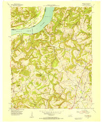
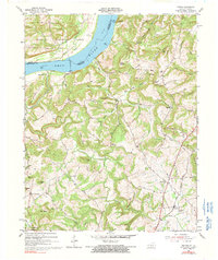
Editions of this 1954 Repton Map
3 editions found
Other maps of this area

1907 · Morganfield
USGS Topo · 1:62,500

1909 · Providence
USGS Topo · 1:62,500

1916 · Shawneetown
USGS Topo · 1:62,500

1916 · Fords Ferry
USGS Topo · 1:62,500

1921 · Fords Ferry
USGS Topo · 1:48,000

1925 · Cave In Rock
USGS Topo · 1:62,500

1949 · Paducah
USGS Topo · 1:250,000

1950 · Paducah
USGS Topo · 1:250,000

1951 · Sturgis
USGS Topo · 1:24,000
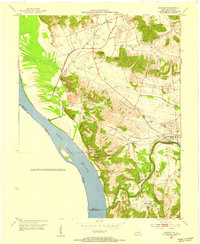
1953 · Dekoven
USGS Topo · 1:24,000