
1925 Map of Harrisburg
USGS Topo · Published 1925About this map
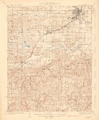
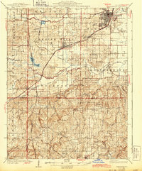
The Harrisburg region of southern Illinois is defined by the convergence of heavy industry and rural topography in the 1920s. Centered on the expanding coal operations at Wasson Mine No 2, the landscape is a grid of rail lines including the Cleveland Cincinnati Chicago and St Louis and an Electric line connecting Gaskins City with Carrier Mills. The transition from the flat plains near the Middle Fork Saline River to the complex ridges of Stonefort and Simpson reveals a high density of rural institutions, such as Dallysunia Church and the East Ingram Hill School. The survey captures Stonefort PO and Sta and Oldtown before the complete integration of these settlements, providing a precise look at the township's infrastructure before major highway modernization altered these small-town corridors.
Find a feature on this map
95 named features on this map. Tap any name to fly to it.
Don’t see what you’re looking for? This feature index may not catch every label — zoom into the map to look around manually.
Map Details
Editions of this 1925 Harrisburg Map
3 editions found
Other maps of this area

1905 · Eldorado
USGS Topo · 1:62,500

1906 · Eldorado
USGS Topo · 1:62,500

1908 · Galatia
USGS Topo · 1:62,500

1909 · West Frankfort
USGS Topo · 1:62,500

1916 · Golconda
USGS Topo · 1:62,500

1916 · Equality
USGS Topo · 1:62,500

1917 · Brownfield
USGS Topo · 1:62,500

1918 · Vienna
USGS Topo · 1:62,500

1919 · Vienna
USGS Topo · 1:62,500

1920 · Goloonda
USGS Topo · 1:48,000