
Loading...
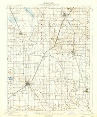
Loading map...1905 Map of Eldorado
USGS Topo · Published 1954About this map
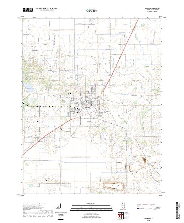
The hub of Eldorado serves as a central point for a dense network of rail lines at the turn of the century, including the Illinois Central RR and the Chicago Cincinnati and St Louis Ry. The landscape is defined by the transition from the rolling terrain near Gold Hill and the North Fork Saline River to the broad expanses of Heralds Prairie and Plainview. Regional industry is anchored by operations such as the Dering Mine and agricultural outposts like Francis Mills.
Find a feature on this map
55 named features on this map. Tap any name to fly to it.
Don’t see what you’re looking for? This feature index may not catch every label — zoom into the map to look around manually.
Map Details
Date Portrayed1905
Date Published1954
PublisherU.S. Geological Survey
Map TypeTopographic
Scale1:62,500
Physical Dimensions16.9 x 20.8 inches
Editions of this 1905 Eldorado Map
This is the sole edition of this map. No revisions or reprints were ever made.
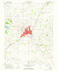
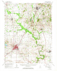
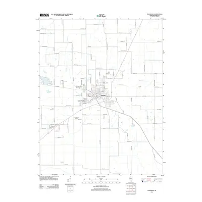
Historical Maps of Eldorado Through Time
9 maps found
Featured Locations
Source Details
SourceU.S. Geological Survey
CopyrightPublic Domain