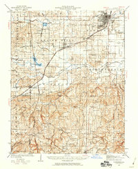
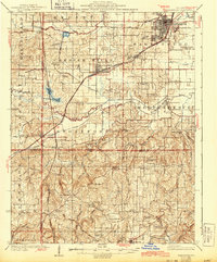
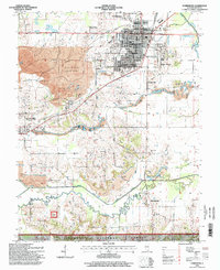
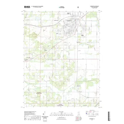
1939 Map of Harrisburg
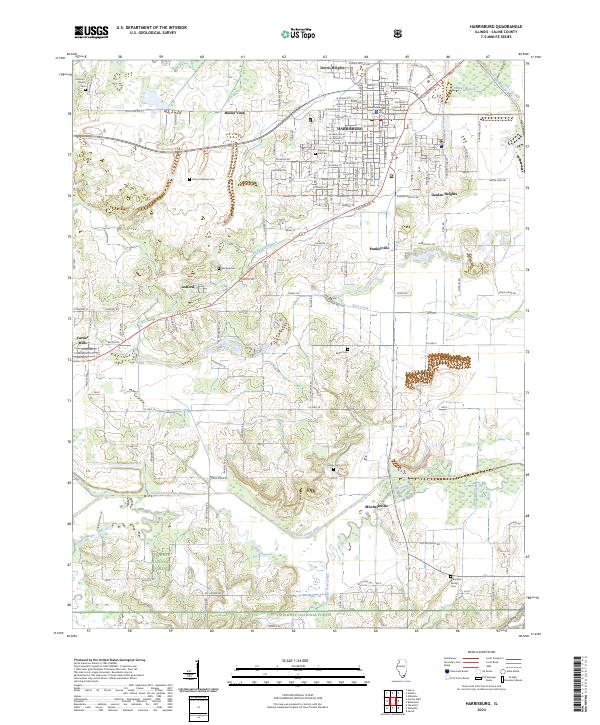
USGS Topo · Published 1959About this map
The rail-driven landscape of southern Illinois is prominently displayed in this 1930s-era revision, centered on the coal and agriculture hubs of Harrisburg and Carrier Mills. This area showcases a dense network of local education and faith, with dozens of rural schoolhouses such as Shelton School and Pierson School and country churches like Salem Church and Zion Church serving the dispersed farming population. Industrial activity is anchored by the Wasson Mine No 2, while the Illinois Central and Cleveland Cincinnati Chicago and St Louis railroads dictate the development of towns like Stonefort and Ledford. To the south, the terrain shifts from the developed river valleys of the Middle Fork Saline River and South Fork Saline River toward the more broken country of the Shawnee Hills, marked by landmarks such as Murray Bluff and Burden Falls.
Find a feature on this map
105 named features on this map. Tap any name to fly to it.
Don’t see what you’re looking for? This feature index may not catch every label — zoom into the map to look around manually.
Map Details
Editions of this 1939 Harrisburg Map
This is the sole edition of this map. No revisions or reprints were ever made.
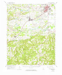
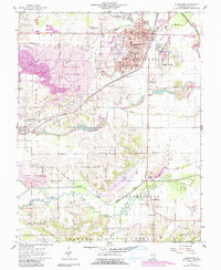
Historical Maps of Harrisburg Through Time
10 maps found
1925 Harrisburg
Saline County, IL
1939 Harrisburg
Saline County, IL
1961 Harrisburg
Saline County, IL
1961 Harrisburg
Saline County, IL
1996 Harrisburg
Saline County, IL
2012 Harrisburg
Saline County, IL
2015 Harrisburg
Saline County, IL
2018 Harrisburg
Saline County, IL
2021 Harrisburg
Saline County, IL
2024 Harrisburg
Saline County, IL