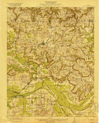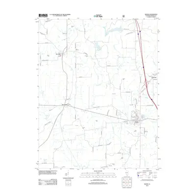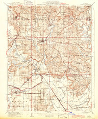
1918 Map of Vienna
USGS Topo · Published 1943About this map
Vienna sits at a critical junction of Southern Illinois history, where the Illinois Central and Chicago and Eastern Illinois railroads converge amidst a landscape heavily defined by the winding Cache River. This 1918 survey, updated with 1942 culture, documents a rural society organized around small schoolhouses and family-named landmarks. The map details the complex drainage network of the south, featuring the Post Creek Cutoff, Main Ditch, and Quincy Ditch, which were essential for managing the lowlands near Karnak and Mermet.
Find a feature on this map
95 named features on this map. Tap any name to fly to it.
Don’t see what you’re looking for? This feature index may not catch every label — zoom into the map to look around manually.
Map Details
Editions of this 1918 Vienna Map
This is the sole edition of this map. No revisions or reprints were ever made.
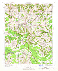
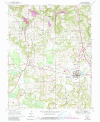
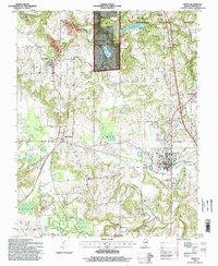
Historical Maps of Vienna Through Time
10 maps found