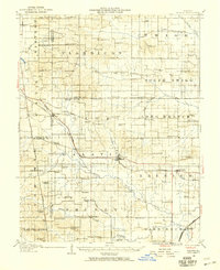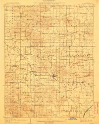
1908 Map of Galatia
USGS Topo · Published 1908About this map
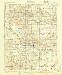
Galatia and Raleigh serve as the primary hubs in this early 20th-century landscape, positioned along the Illinois Central and the St Louis and Raleigh Line. The region is defined by a dense network of rural infrastructure, where nearly every township section contains a community landmark such as the Tate Township Hall or the Town Hall near Bankston Creek. This survey reveals a remarkably distributed population, indicated by the high frequency of family and place-named schools including Possum Flat School, Barefoot School, and Thistle Ridge School.
Find a feature on this map
85 named features on this map. Tap any name to fly to it.
Don’t see what you’re looking for? This feature index may not catch every label — zoom into the map to look around manually.
Map Details
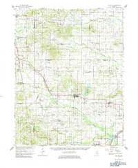
Editions of this 1908 Galatia Map
2 editions found
Historical Maps of Harrisburg Through Time
9 maps found