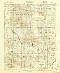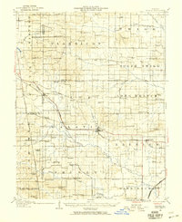
1938 Map of Galatia
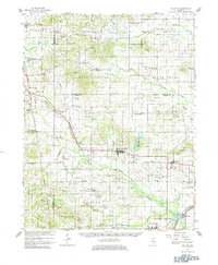
USGS Topo · Published 1959About this map
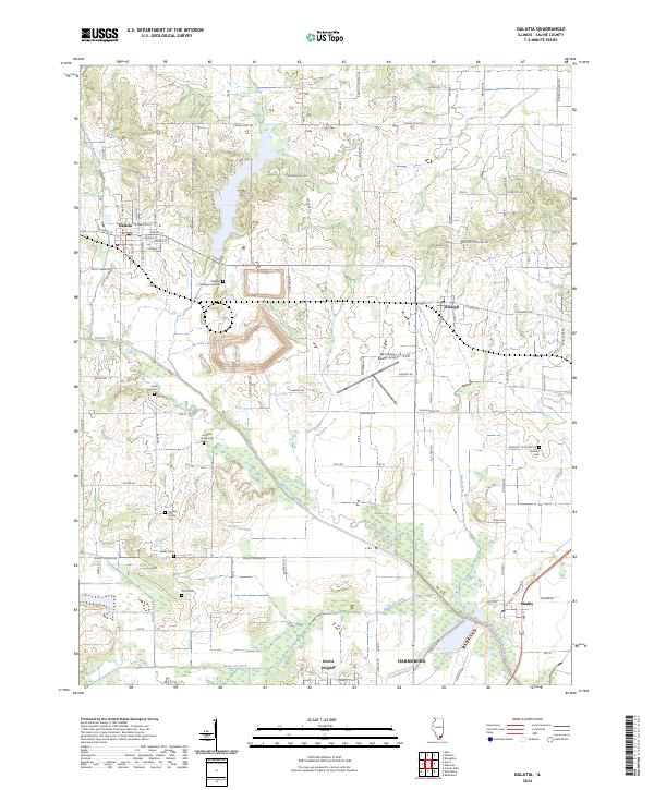
The confluence of the Middle Fork Saline River, Brushy Creek, and Bankston Fork define the southern landscape of this 1938 survey, where the rail-driven economy centered around Galatia and Carrier Mills. The region is marked by a remarkably dense network of rural infrastructure, from the Tate Township Hall to a high concentration of country institutions like Possum Flat School and New Spring Church. Multiple rail lines intersect the territory, including the St Louis and Eldorado Line and the Illinois Central, facilitating the movement of goods between small agricultural outposts such as Raleigh and Rileyville. The map captures a moment in time when the landscape was heavily partitioned by small school districts and local landmarks, including the curiously named Shakerag School and Barefoot School, providing a meticulous record of the early 20th-century Illinois interior before mid-century consolidation.
Find a feature on this map
99 named features on this map. Tap any name to fly to it.
Don’t see what you’re looking for? This feature index may not catch every label — zoom into the map to look around manually.
Map Details
Editions of this 1938 Galatia Map
This is the sole edition of this map. No revisions or reprints were ever made.
Historical Maps of Harrisburg Through Time
9 maps found