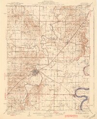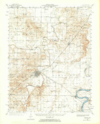
1940 Map of Carmi
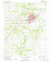
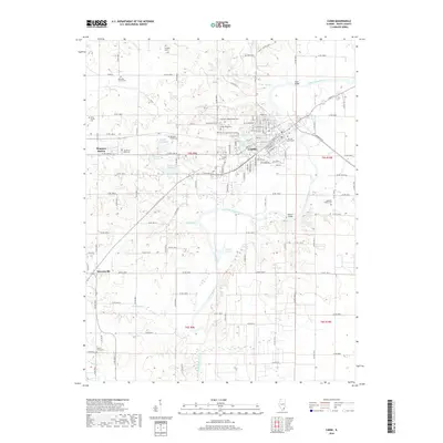
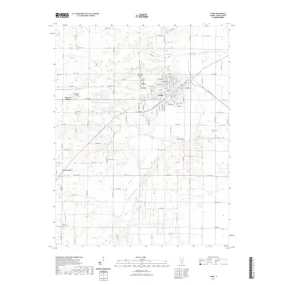
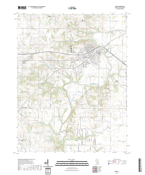
USGS Topo · Published 1965About this map
Carmi serves as the focal point of this Southern Illinois survey, situated at the junction of the Little Wabash River and major rail lines including the Louisville and Nashville and New York Central. The landscape is a network of fertile prairies and low-lying river bottoms, with Burnt Prairie and Herald Prairie defining the local geography. Significant infrastructure of the era is evident in the numerous river crossings, such as Cherry Shoals Bridge and Sigler Bridge, which supported a dispersed agrarian community. Beyond the city center, the map reveals a dense distribution of rural institutions, from the Baptist Orphanage to dozens of family-named schools like Moccasin Sch and Williams Sch. This documentation captures the area before modern consolidation, showing the proximity of small settlements like Centerville and Brownsville to the winding course of the Skillet Fork.
Find a feature on this map
141 named features on this map. Tap any name to fly to it.
Don’t see what you’re looking for? This feature index may not catch every label — zoom into the map to look around manually.
Map Details
Editions of this 1940 Carmi Map
This is the sole edition of this map. No revisions or reprints were ever made.
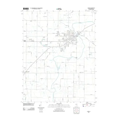
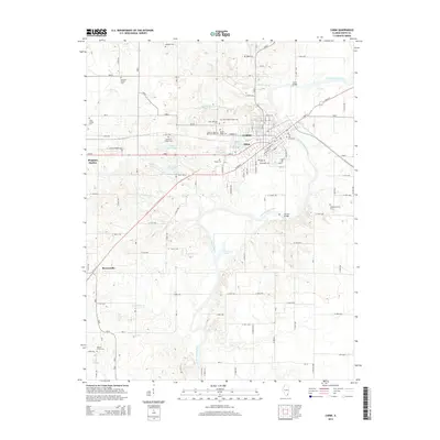
Historical Maps of Carmi Through Time
8 maps found