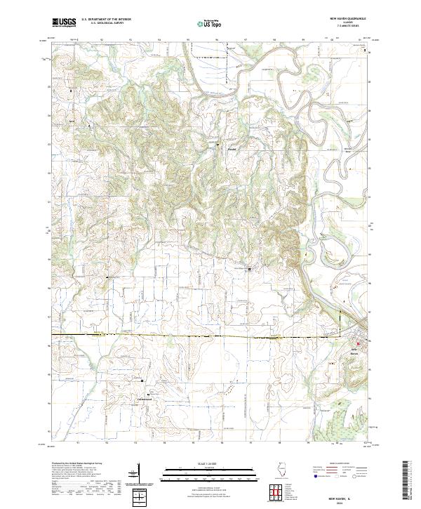
1905 Map of New Haven
USGS Topo · Published 1966About this map
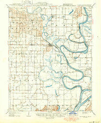
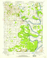
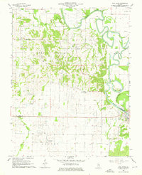
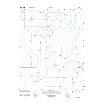
The Little Wabash River winds through a landscape defined by its intricate water systems, from the expansive Fishpond Swamp to the serpentine Old Channel. This 1905 survey, revised in the late 1930s and 1940s, reveals a river-dependent economy in the tri-state area of Illinois, Indiana, and Kentucky. At the heart of this network is New Haven, a settlement situated near the confluence of the Little Wabash and the Great Wabash River. The map illustrates a time when the river's path dictated local movement, evidenced by the many crossings including Dogtown Ferry, Mackeys Ferry, and Wabash Island Ferry. North of New Haven, the Dogtown Hills rise above the wetlands, while to the south, the Shawneetown Hills anchor the terrain. Significant sloughs such as Yellowbank Slough and Running Slough crisscross the lowlands, suggesting a dynamic environment of seasonal flooding and drainage projects like the Cypress Ditch.
Find a feature on this map
57 named features on this map. Tap any name to fly to it.
Don’t see what you’re looking for? This feature index may not catch every label — zoom into the map to look around manually.
Map Details
Editions of this 1905 New Haven Map
This is the sole edition of this map. No revisions or reprints were ever made.
Historical Maps of Ridgway Through Time
9 maps found