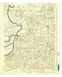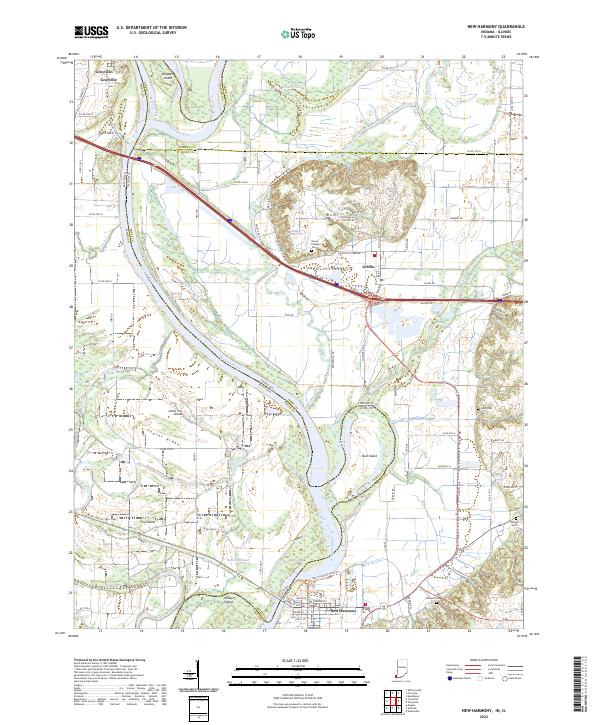
1938 Map of New Harmony
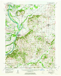
USGS Topo · Published 1958About this map
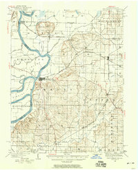
The Wabash River creates a dynamic western boundary for this portion of Posey County, defining the landscape through a complex system of water features including the Cutoff, Big Bayou, and Ribeyre Island. This 1938 revision reflects a region deeply influenced by both its riverine environment and its rail connections, with the Illinois Central Railroad and the Evansville and Terre Haute Railroad intersecting at Poseyville. The settlement pattern follows the fertile uplands and rail corridors, connecting established towns like New Harmony and Wadesville with smaller locales such as Rapture and Solitude.
Find a feature on this map
48 named features on this map. Tap any name to fly to it.
Don’t see what you’re looking for? This feature index may not catch every label — zoom into the map to look around manually.
Map Details
Editions of this 1938 New Harmony Map
This is the sole edition of this map. No revisions or reprints were ever made.
Historical Maps of Grayville Through Time
9 maps found