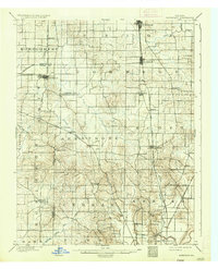
1901 Map of Haubstadt
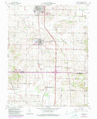
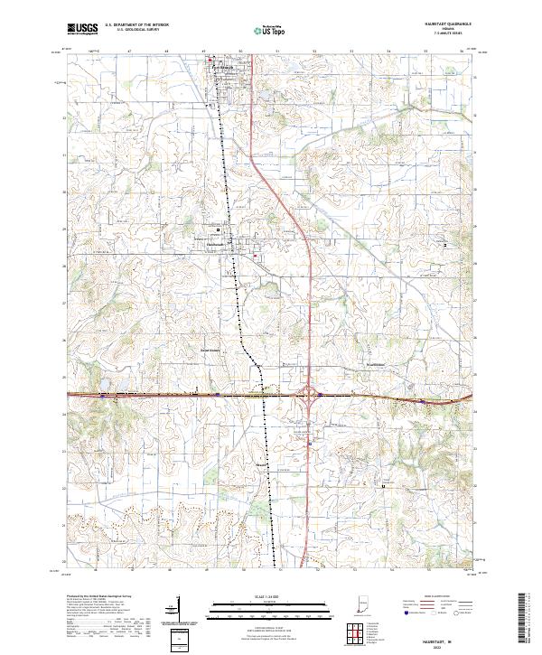
USGS Topo · Published 1955About this map
The rail-and-agriculture landscape of southwestern Indiana at the start of the twentieth century is defined by several converging corridors, most notably the Evansville and Terre Haute R.R. and its Mt. Vernon Branch. These lines established the primary north-south axis through Gibson and Vanderburgh counties, connecting hubs like Ft. Branch and Haubstadt. To the west, the Illinois Central R.R. serves Cynthiana, reflecting the dense rail network necessary for moving crops and timber from the fertile bottomlands near the Black River and Big Creek.
Find a feature on this map
48 named features on this map. Tap any name to fly to it.
Don’t see what you’re looking for? This feature index may not catch every label — zoom into the map to look around manually.
Map Details
Editions of this 1901 Haubstadt Map
This is the sole edition of this map. No revisions or reprints were ever made.
Historical Maps of Evansville Through Time
8 maps found