
1902 Map of Ditney
USGS Topo · Published 1902About this map
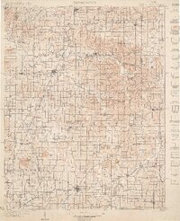
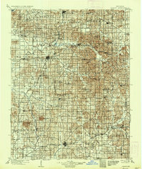
Petersburg and Boonville anchor this early 20th-century survey of the Southwestern Indiana landscape, a region defined by its complex drainage networks and emerging rail infrastructure. The Southern RR cuts through the heart of the area, connecting timber and coal interests in towns like Oakland City and Winslow. The terrain is characterized by subtle but distinct elevations such as Big Ditney Hill and Little Ditney Hill, which rise above the floodplains of the Patoka River and White River.
Find a feature on this map
142 named features on this map. Tap any name to fly to it.
Don’t see what you’re looking for? This feature index may not catch every label — zoom into the map to look around manually.
Map Details
Editions of this 1902 Ditney Map
3 editions found
Other maps of this area

1900 · St Meinrad
USGS Topo · 1:62,500

1900 · De Gonia Springs
USGS Topo · 1:62,500

1901 · Owensboro
USGS Topo · 1:62,500

1901 · Princeton
USGS Topo · 1:62,500

1901 · Haubstadt
USGS Topo · 1:62,500

1902 · Degonia Springs
USGS Topo · 1:62,500

1902 · Boonville
USGS Topo · 1:62,500

1903 · St. Meinrad
USGS Topo · 1:62,500

1903 · Velpen
USGS Topo · 1:62,500

1903 · Haubstadt
USGS Topo · 1:62,500