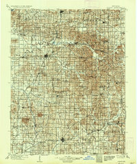
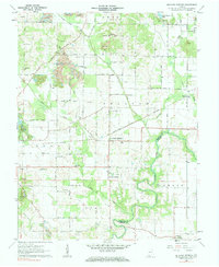
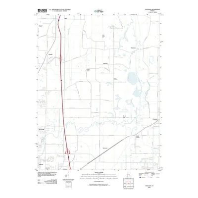
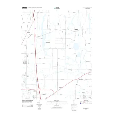
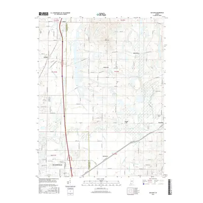
1902 Map of Ditney
USGS Topo · Published 1936About this map
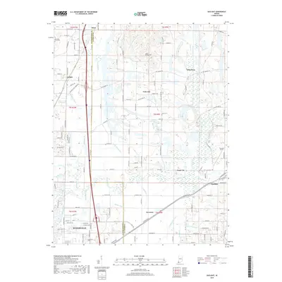
Petersburg and the winding Patoka River anchor this turn-of-the-century landscape, which captures a critical moment in Southern Indiana's industrial development. The map reveals a transition from water-based transport to a robust rail network, as the old Wabash Canal is visible alongside the emerging lines of the Southern Railway and the Evansville and Indianapolis RR. Mining and agricultural settlements like Ayrshire, Winslow, and Oakland City dot the terrain, while landmarks like Big Ditney Hill and Kennedy Hill rise above the drainage basins of Pigeon Creek and Buck Creek. This survey records numerous smaller hamlets such as Algiers, Dongola, and Oatsville, many of which served as local hubs for the rural population before the expansion of modern highways altered the region's geography.
Find a feature on this map
76 named features on this map. Tap any name to fly to it.
Don’t see what you’re looking for? This feature index may not catch every label — zoom into the map to look around manually.
Map Details
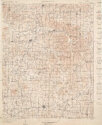
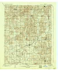
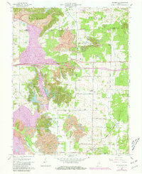
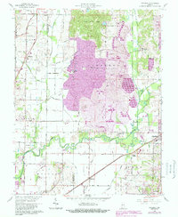
Editions of this 1902 Ditney Map
3 editions found

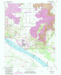
Historical Maps of Evansville Through Time
28 maps found

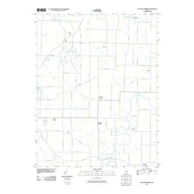
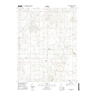
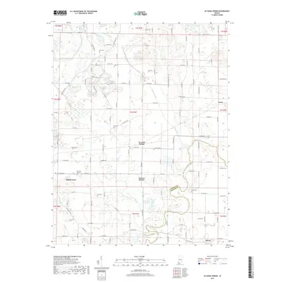
1900 De Gonia Springs
Warrick County, IN
1902 Degonia Springs
Warrick County, IN
1902 Ditney
Warrick County, IN
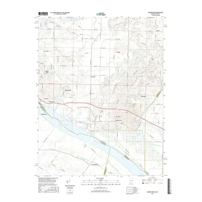
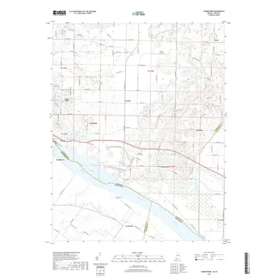
1951 Yankeetown
Warrick County, IN
1960 De Gonia Springs
Warrick County, IN
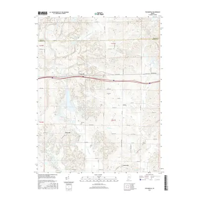
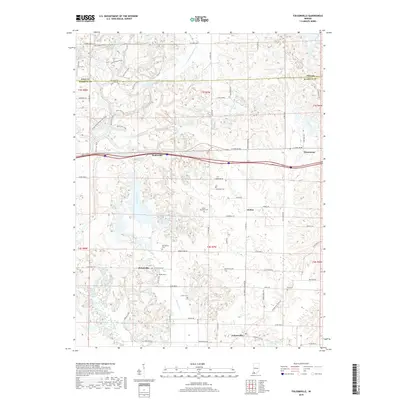
1960 Folsomville
Warrick County, IN
1961 Daylight
Warrick County, IN
1964 Yankeetown
Warrick County, IN
2010 Daylight
Warrick County, IN
2010 De Gonia Springs
Warrick County, IN
2010 Folsomville
Warrick County, IN
2010 Yankeetown
Warrick County, IN
2013 Daylight
Warrick County, IN
2013 De Gonia Springs
Warrick County, IN
2013 Folsomville
Warrick County, IN
2013 Yankeetown
Warrick County, IN
2016 Daylight
Warrick County, IN
2016 De Gonia Springs
Warrick County, IN
2016 Folsomville
Warrick County, IN
2016 Yankeetown
Warrick County, IN
2019 Daylight
Warrick County, IN
2019 De Gonia Springs
Warrick County, IN
2019 Folsomville
Warrick County, IN
2019 Yankeetown
Warrick County, IN
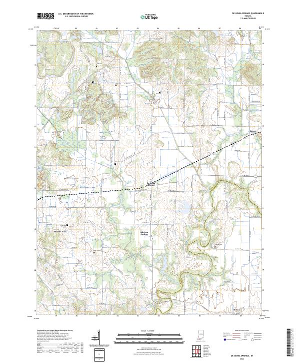
2022 De Gonia Springs
Warrick County, IN
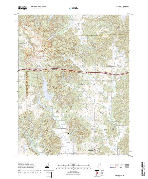
2022 Folsomville
Warrick County, IN
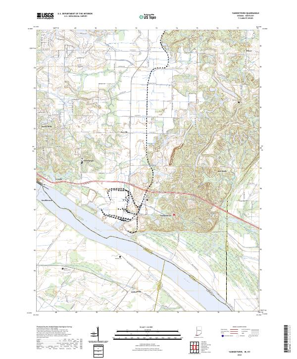
2022 Yankeetown
Warrick County, IN
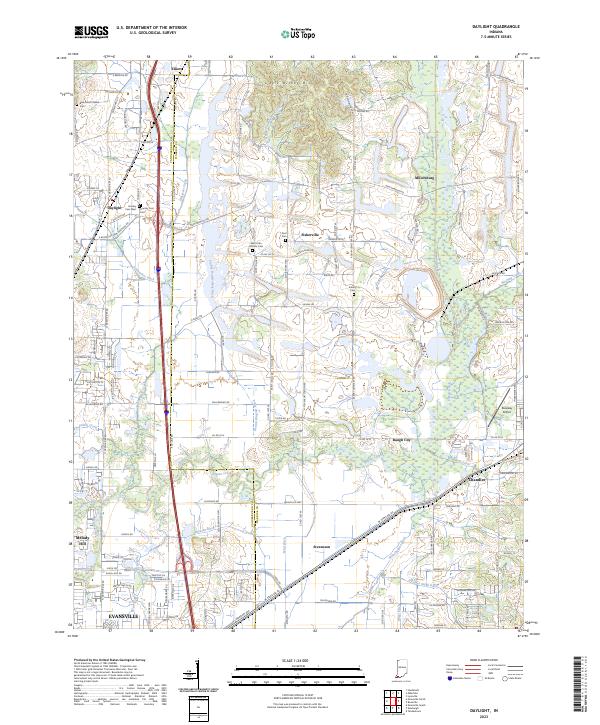
2023 Daylight
Warrick County, IN