
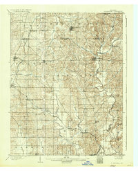
1900 Map of St Meinrad
USGS Topo · Published 1961About this map
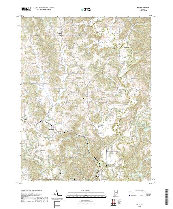
Ferdinand and St. Meinrad serve as principal anchors in this turn-of-the-century portrait of southern Indiana. The landscape is defined by the winding course of the Anderson River and its numerous tributaries, including Blackhawk Creek and Hurricane Creek. Small rail-stop settlements like Mariah Hill, Fulda, and the early village of Santa Claus dot the countryside, connected by the Southern Ry. and the Tell City and Cannelton Branch.
Find a feature on this map
52 named features on this map. Tap any name to fly to it.
Don’t see what you’re looking for? This feature index may not catch every label — zoom into the map to look around manually.
Map Details
Editions of this 1900 St Meinrad Map
This is the sole edition of this map. No revisions or reprints were ever made.
Historical Maps of Ferdinand Through Time
14 maps found
1900 St Meinrad
Spencer County, IN
1903 St Meinrad
Spencer County, IN
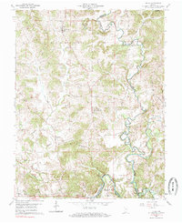
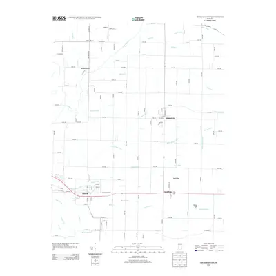
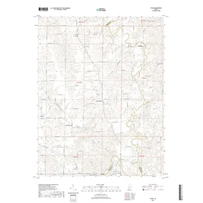
1960 Fulda
Spencer County, IN
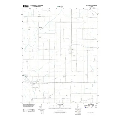
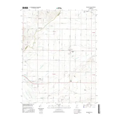
1964 Richland City
Spencer County, IN
2010 Fulda
Spencer County, IN
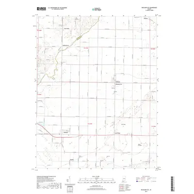
2010 Richland City
Spencer County, IN
2013 Fulda
Spencer County, IN
2013 Richland City
Spencer County, IN
2016 Fulda
Spencer County, IN
2016 Richland City
Spencer County, IN
2019 Fulda
Spencer County, IN
2019 Richland City
Spencer County, IN
2022 Fulda
Spencer County, IN
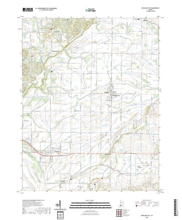
2022 Richland City
Spencer County, IN