
1949 Map of Cannelton
USGS Topo · Published 1949About this map
Cannelton sits tucked against a sharp bend in the Ohio River, its grid of streets framed by the steep bluffs of the Indiana shoreline. Surveyed in the mid-1940s, this landscape reveals a dense network of hollows and ridges, such as Coontail Ridge and Blue Wells Hollow, that dictated early settlement patterns. Genealogy researchers will find significant detail in the placement of rural landmarks like the Troy Township School and numerous small burial grounds, including Log Church Cemetery and Powell Cemetery. Inland from the river, the terrain rises sharply into named peaks like Chilton Hill and Lutgring Hill. The map also captures the social infrastructure of the era, from the Hoosier Heights Country Club to the Mt Zion Church, illustrating a community balanced between its industrial riverfront and its upland agricultural roots.
Find a feature on this map
57 named features on this map. Tap any name to fly to it.
Don’t see what you’re looking for? This feature index may not catch every label — zoom into the map to look around manually.
Map Details
Editions of this 1949 Cannelton Map
This is the sole edition of this map. No revisions or reprints were ever made.
Other maps of this area

1900 · St Meinrad
USGS Topo · 1:62,500

1903 · St. Meinrad
USGS Topo · 1:62,500

1903 · Tell City
USGS Topo · 1:62,500

1934 · Cannelton
USGS Topo · 1:62,500

1953 · Cannelton
USGS Topo · 1:24,000

1953 · Cloverport
USGS Topo · 1:24,000

1953 · Tell City
USGS Topo · 1:24,000
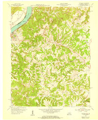
1953 · Mattingly
USGS Topo · 1:24,000
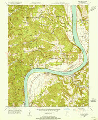
1953 · Rome
USGS Topo · 1:24,000
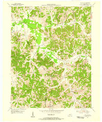
1953 · Pellville
USGS Topo · 1:24,000