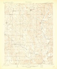
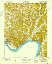
1903 Map of St. Meinrad
USGS Topo · Published 1903About this map
Santa Claus and St.Meinrad anchor this 1903 survey of southern Indiana, capturing a landscape defined by the winding course of the Anderson River and a dense network of early settlements. The map illustrates the region's early 20th-century transportation infrastructure, notably the Southern railroad's Evansville Division passing through Dale and Lincoln City, while the Tell City and Cannelton Branch serves the southern townships near Lamar and Evanston.
Find a feature on this map
50 named features on this map. Tap any name to fly to it.
Don’t see what you’re looking for? This feature index may not catch every label — zoom into the map to look around manually.
Map Details
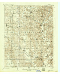
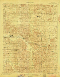
Editions of this 1903 St. Meinrad Map
2 editions found
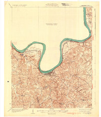
Other maps of this area

1900 · St Meinrad
USGS Topo · 1:62,500

1900 · De Gonia Springs
USGS Topo · 1:62,500

1901 · Owensboro
USGS Topo · 1:62,500

1902 · Ditney
USGS Topo · 1:125,000

1902 · Degonia Springs
USGS Topo · 1:62,500
1903 · Velpen
USGS Topo · 1:62,500

1903 · Tell City
USGS Topo · 1:62,500
1934 · Cannelton
USGS Topo · 1:62,500
1949 · Cannelton
USGS Topo · 1:24,000
1952 · Rockport
USGS Topo · 1:24,000