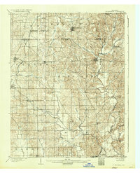
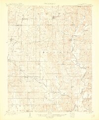
1903 Map of St Meinrad
USGS Topo · Published 1936About this map
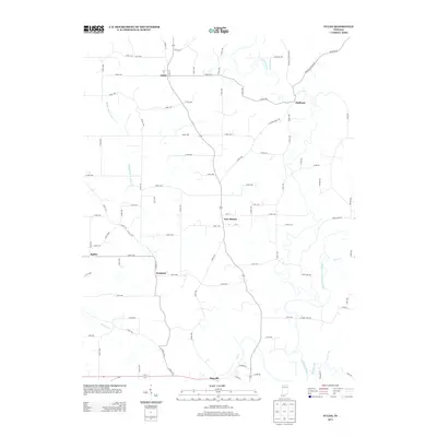
Ferdinand and the monastic community of St. Meinrad anchor this early twentieth-century landscape, where the Anderson River carves a winding path through the borderlands of Spencer, Dubois, and Perry Counties. The map reveals a dense network of German-Catholic settlements and agrarian outposts, including Santa Claus, Mariah Hill, and Fulda, long before modern highways reshaped southern Indiana. The presence of the Southern railway and the And Cannelton branch line highlights the era's reliance on rail for commerce, connecting smaller stations like Lincoln City and Buffaloville to regional markets.
Find a feature on this map
45 named features on this map. Tap any name to fly to it.
Don’t see what you’re looking for? This feature index may not catch every label — zoom into the map to look around manually.
Map Details
Editions of this 1903 St Meinrad Map
2 editions found
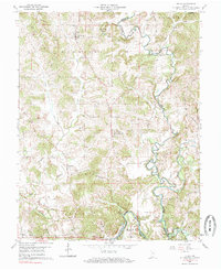
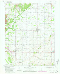
Historical Maps of Ferdinand Through Time
14 maps found

1900 St Meinrad
Spencer County, IN
1903 St Meinrad
Spencer County, IN
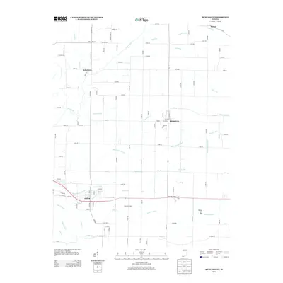
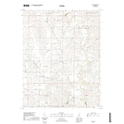
1960 Fulda
Spencer County, IN
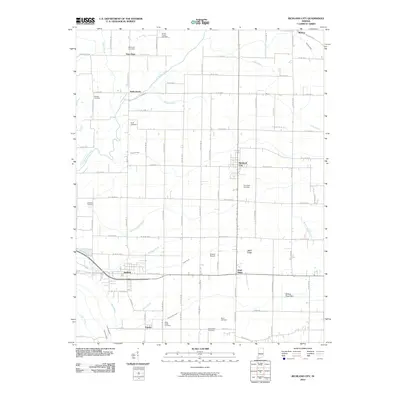
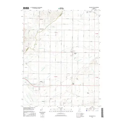
1964 Richland City
Spencer County, IN
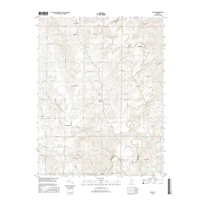
2010 Fulda
Spencer County, IN
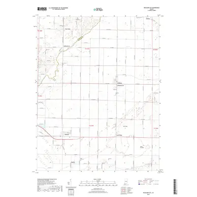
2010 Richland City
Spencer County, IN
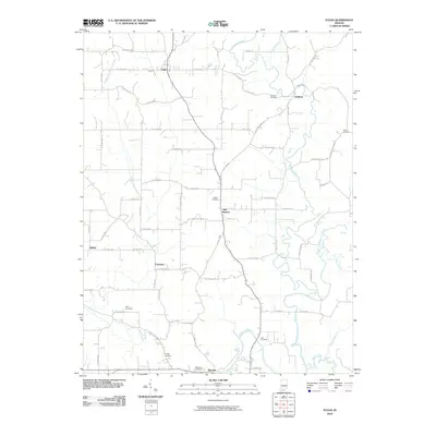
2013 Fulda
Spencer County, IN
2013 Richland City
Spencer County, IN
2016 Fulda
Spencer County, IN
2016 Richland City
Spencer County, IN
2019 Fulda
Spencer County, IN
2019 Richland City
Spencer County, IN
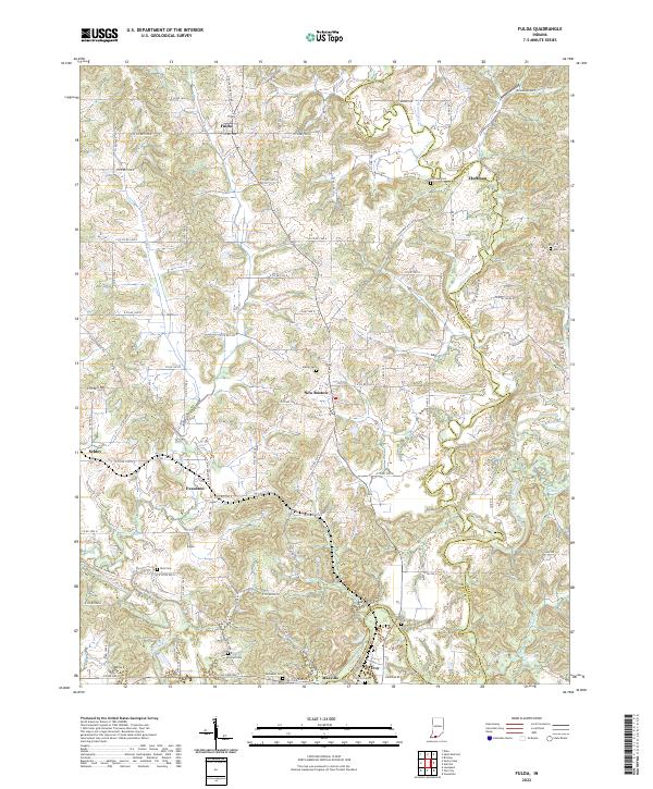
2022 Fulda
Spencer County, IN
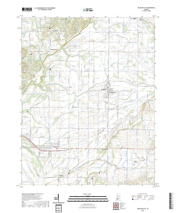
2022 Richland City
Spencer County, IN