
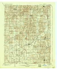
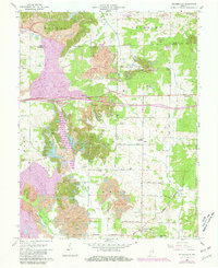
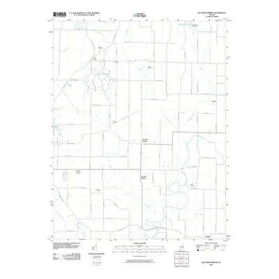
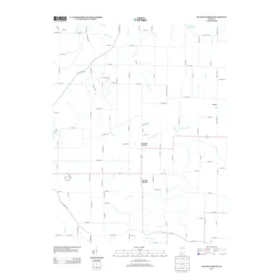
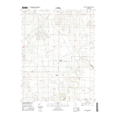
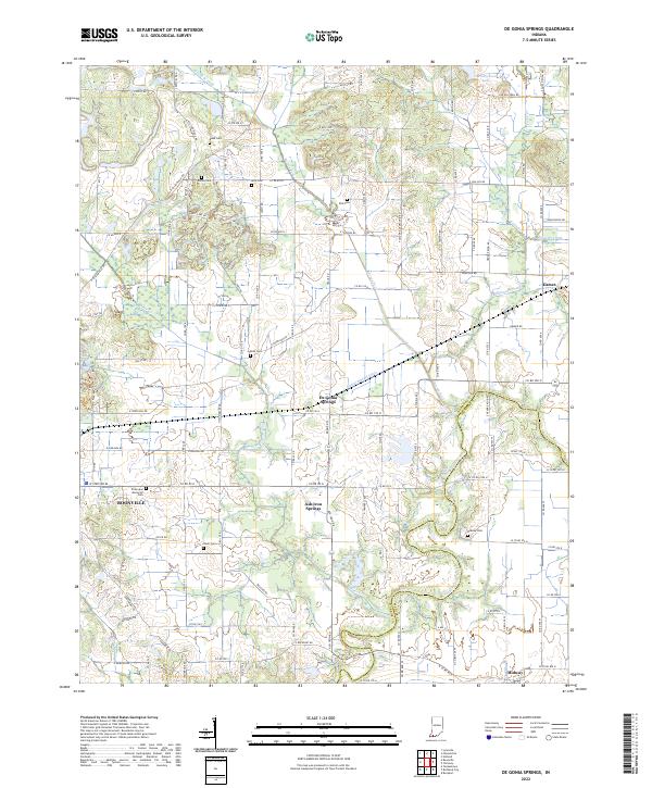
1900 Map of De Gonia Springs
USGS Topo · Published 1963About this map
De Gonia Springs and Ash Iron Springs anchor the southern landscape of this 1900 survey, reflecting an era when mineral springs were significant local landmarks and destinations. The terrain is crisscrossed by a network of early rural settlements, from Scalesville and Hemenway in the north to Tennyson and Midway in the south. The movement of goods and people across the county lines of Pike, Dubois, and Spencer is facilitated by the Southern railroad and its Evansville Division, which links small hubs like Eames and Gentryville.
Find a feature on this map
44 named features on this map. Tap any name to fly to it.
Don’t see what you’re looking for? This feature index may not catch every label — zoom into the map to look around manually.
Map Details
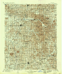
Editions of this 1900 De Gonia Springs Map
This is the sole edition of this map. No revisions or reprints were ever made.
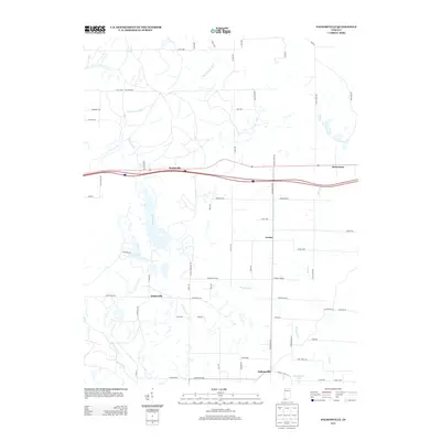
Historical Maps of Boonville Through Time
28 maps found
1900 De Gonia Springs
Warrick County, IN
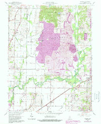
1902 Degonia Springs
Warrick County, IN
1902 Ditney
Warrick County, IN
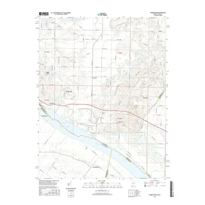
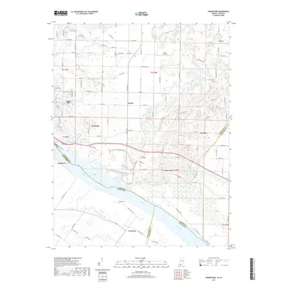
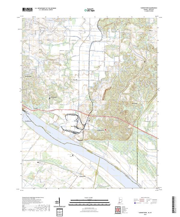
1951 Yankeetown
Warrick County, IN
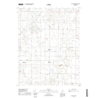
1960 De Gonia Springs
Warrick County, IN
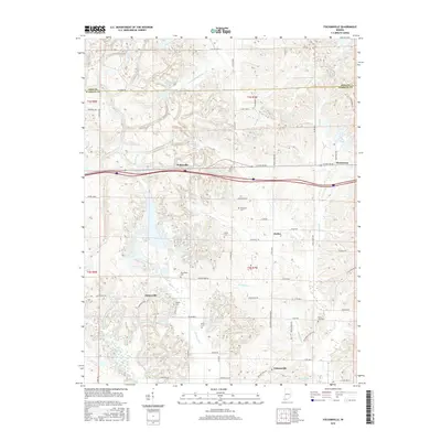
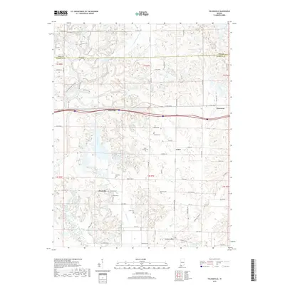
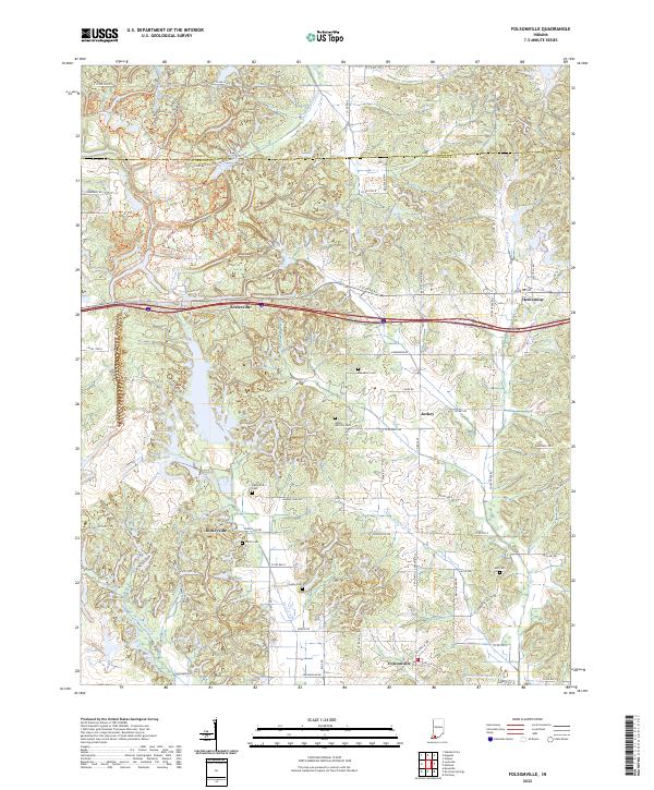
1960 Folsomville
Warrick County, IN
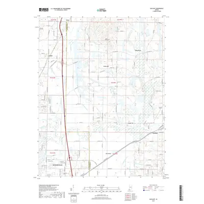
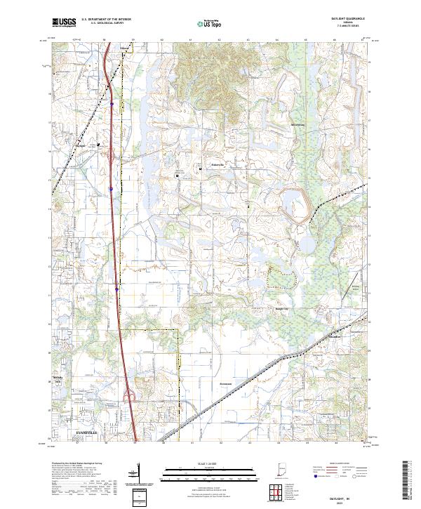
1961 Daylight
Warrick County, IN
1964 Yankeetown
Warrick County, IN
2010 Daylight
Warrick County, IN
2010 De Gonia Springs
Warrick County, IN
2010 Folsomville
Warrick County, IN
2010 Yankeetown
Warrick County, IN
2013 Daylight
Warrick County, IN
2013 De Gonia Springs
Warrick County, IN
2013 Folsomville
Warrick County, IN
2013 Yankeetown
Warrick County, IN
2016 Daylight
Warrick County, IN
2016 De Gonia Springs
Warrick County, IN
2016 Folsomville
Warrick County, IN
2016 Yankeetown
Warrick County, IN
2019 Daylight
Warrick County, IN
2019 De Gonia Springs
Warrick County, IN
2019 Folsomville
Warrick County, IN
2019 Yankeetown
Warrick County, IN
2022 De Gonia Springs
Warrick County, IN
2022 Folsomville
Warrick County, IN
2022 Yankeetown
Warrick County, IN
2023 Daylight
Warrick County, IN