
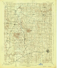
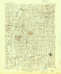
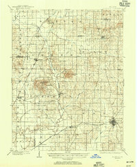
1902 Map of Boonville
USGS Topo · Published 1902About this map
The Wabash and Erie Canal cuts a striking path through the center of Warrick County, already noted as an inactive feature during this 1902 survey. The landscape is a network of small agricultural hubs and early rail lines, with the Southern Ry Evansville Division passing through Chandler and Boonville, while the Evansville and Indianapolis RR serves the western townships near Elberfeld.
Find a feature on this map
55 named features on this map. Tap any name to fly to it.
Don’t see what you’re looking for? This feature index may not catch every label — zoom into the map to look around manually.
Map Details
Editions of this 1902 Boonville Map
4 editions found
Other maps of this area

1900 · De Gonia Springs
USGS Topo · 1:62,500

1901 · Owensboro
USGS Topo · 1:62,500

1901 · Princeton
USGS Topo · 1:62,500

1901 · Haubstadt
USGS Topo · 1:62,500

1902 · Ditney
USGS Topo · 1:125,000

1902 · Degonia Springs
USGS Topo · 1:62,500

1903 · Velpen
USGS Topo · 1:62,500

1903 · Haubstadt
USGS Topo · 1:62,500

1903 · Petersburg
USGS Topo · 1:62,500

1903 · Princeton
USGS Topo · 1:62,500