
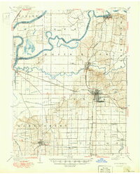
1901 Map of Princeton
USGS Topo · Published 1954About this map
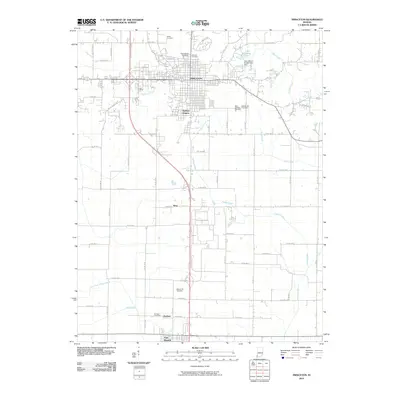
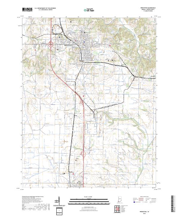
Princeton serves as the focal point of this survey, where the convergence of the Chicago and Eastern Illinois and the Southern railroads defines the regional logistics of the early 20th century. The landscape is heavily influenced by the winding paths of the White River and Wabash River, which created complex hydrological features like Cypress Ponds and Long Pond. One of the most significant historical markers is the Wabash and Erie Canal (Abandoned), tracing a defunct line of commerce that had already given way to the rail era by the time of the original 1901 survey. Settled areas like the African American community of Lyles and the smaller junctions of Mc Gary and Ft Branch illustrate the dense network of small agricultural towns. The presence of the County Farm and Camp Carson provides insight into the civic and military infrastructure of Gibson County during the mid-century revisions.
Find a feature on this map
55 named features on this map. Tap any name to fly to it.
Don’t see what you’re looking for? This feature index may not catch every label — zoom into the map to look around manually.
Map Details
Editions of this 1901 Princeton Map
This is the sole edition of this map. No revisions or reprints were ever made.
Historical Maps of Princeton Through Time
10 maps found
1901 Princeton
Gibson County, IN
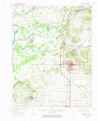
1903 Princeton
Gibson County, IN
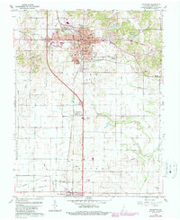
1959 Princeton
Gibson County, IN
1959 Princeton
Gibson County, IN
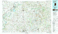
1986 Princeton
Gibson County, IN
2010 Princeton
Gibson County, IN
2013 Princeton
Gibson County, IN
2016 Princeton
Gibson County, IN
2019 Princeton
Gibson County, IN
2022 Princeton
Gibson County, IN