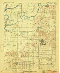
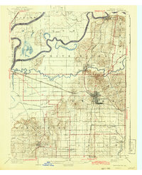
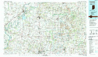
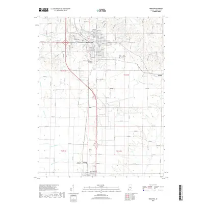
1903 Map of Princeton
USGS Topo · Published 1903About this map
Princeton serves as the central hub of this 1901 survey, where the convergence of the Evansville and Terre Haute R. R. and the Southern R. R. highlights the region's importance as a transportation corridor. The landscape is defined by the winding paths of the Wabash River, White River, and Patoka River, which carve through the lowlands and create distinctive features like Cypress Ponds and the Claypole Hills.
Find a feature on this map
49 named features on this map. Tap any name to fly to it.
Don’t see what you’re looking for? This feature index may not catch every label — zoom into the map to look around manually.
Map Details
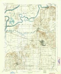
Editions of this 1903 Princeton Map
6 editions found
Historical Maps of Princeton Through Time
10 maps found

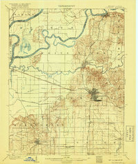
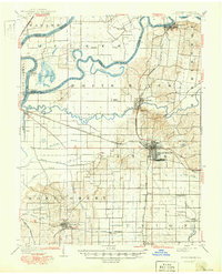
1901 Princeton
Gibson County, IN
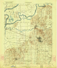
1903 Princeton
Gibson County, IN
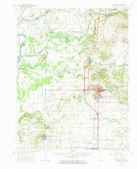
1959 Princeton
Gibson County, IN
1959 Princeton
Gibson County, IN
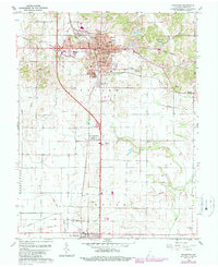
1986 Princeton
Gibson County, IN
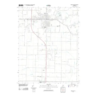
2010 Princeton
Gibson County, IN
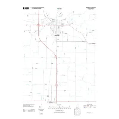
2013 Princeton
Gibson County, IN
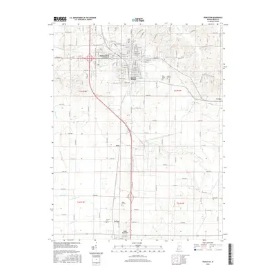
2016 Princeton
Gibson County, IN
2019 Princeton
Gibson County, IN
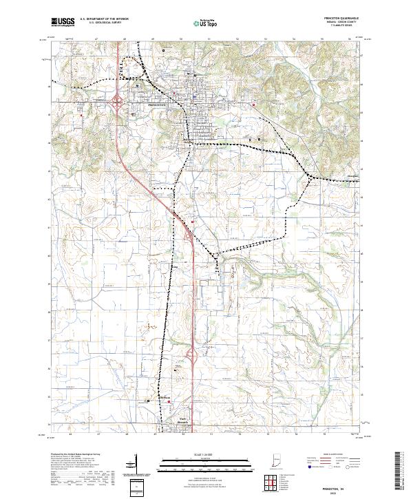
2022 Princeton
Gibson County, IN