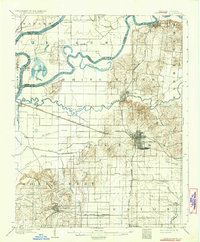
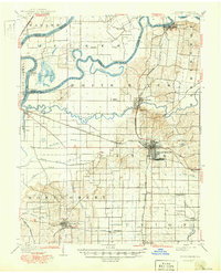
1903 Map of Princeton
USGS Topo · Published 1932About this map
The confluence of the White River, Wabash River, and Patoka River creates a complex landscape of alluvial plains and low rises at the turn of the century. Princeton serves as the regional hub, its grid-style streets established where several major rail lines meet, including the Southern Railway and the Chicago and Eastern Illinois RR. The rural character of the area is defined by small settlements like Lyles and Owensville, alongside a sophisticated drainage network of man-made waterways such as Mc Carty Ditch and Blair Ditch. A significant relic of earlier commerce is visible in the southeast, where the Wabash and Erie Canal (Abandoned) runs near Port Gibson. The terrain is punctuated by the Claypole Hills and Gordon Hills, while the riverine bottomlands are marked by oxbows like Long Pond and Cypress Ponds.
Find a feature on this map
53 named features on this map. Tap any name to fly to it.
Don’t see what you’re looking for? This feature index may not catch every label — zoom into the map to look around manually.
Map Details
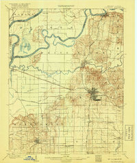
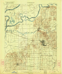
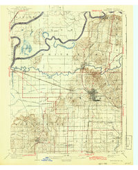
Editions of this 1903 Princeton Map
6 editions found
Other maps of this area

1901 · Princeton
USGS Topo · 1:62,500

1901 · Haubstadt
USGS Topo · 1:62,500

1902 · Ditney
USGS Topo · 1:125,000

1902 · Boonville
USGS Topo · 1:62,500

1903 · Haubstadt
USGS Topo · 1:62,500

1903 · New Harmony
USGS Topo · 1:62,500

1903 · Petersburg
USGS Topo · 1:62,500

1903 · Princeton
USGS Topo · 1:62,500

1903 · Patoka
USGS Topo · 1:125,000

1904 · Mount Carmel
USGS Topo · 1:62,500