
1903 Map of New Harmony
USGS Topo · Published 1903About this map
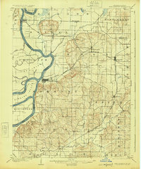
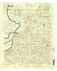
The Wabash River meanders through the western portion of this 1901 survey, defining the border between Indiana and Illinois. The town of New Harmony stands as a focal point, situated near a prominent river cutoff and Ribeyre Island. This landscape is a blend of floodplains and elevated terrain, notably the Mumford Hills near Griffin. The rail infrastructure of the early 1900s is highly developed here, with the Illinois Central and the Evansville and Terre Haute R. R. cutting across the county to serve agricultural hubs like Poseyville and Stewartsville. Small settlements and post offices such as Rapture, Solitude, and Savah are scattered throughout the townships, reflecting a dense rural population before the mid-century shift toward larger urban centers. The intricate network of waterways, including Big Black Creek and Rush Creek, highlights the importance of drainage and local topography in Posey County's development.
Find a feature on this map
53 named features on this map. Tap any name to fly to it.
Don’t see what you’re looking for? This feature index may not catch every label — zoom into the map to look around manually.
Map Details
Editions of this 1903 New Harmony Map
3 editions found
Other maps of this area

1901 · Princeton
USGS Topo · 1:62,500

1901 · Haubstadt
USGS Topo · 1:62,500

1903 · Haubstadt
USGS Topo · 1:62,500

1903 · Princeton
USGS Topo · 1:62,500

1903 · Patoka
USGS Topo · 1:125,000

1904 · Mount Carmel
USGS Topo · 1:62,500

1905 · New Haven
USGS Topo · 1:62,500

1906 · New Haven
USGS Topo · 1:62,500

1914 · Henderson
USGS Topo · 1:48,000

1916 · Henderson
USGS Topo · 1:62,500