Loading...
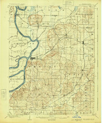
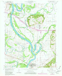
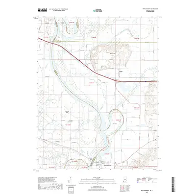
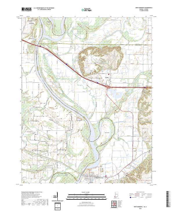
Loading map...1903 Map of New Harmony
USGS Topo · Published 1925About this map
The Wabash River meanders along the Indiana-Illinois boundary, creating a complex landscape of islands and bayous such as Ribeyre Island and Phillips Island. Surveyed at the dawn of the twentieth century, this region in Posey County is defined by its early rail connectivity and the distinct rising of the Mumford Hills. The Illinois Central and the Evansville Division railroads intersect near Stewartsville, supporting a network of small agricultural hubs and crossroads.
Find a feature on this map
51 named features on this map. Tap any name to fly to it.
Don’t see what you’re looking for? This feature index may not catch every label — zoom into the map to look around manually.
Map Details
Date Portrayed1903
Date Published1925
PublisherU.S. Geological Survey
Map TypeTopographic
Scale1:62,500
Physical Dimensions16.5 x 19.8 inches
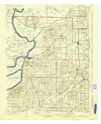
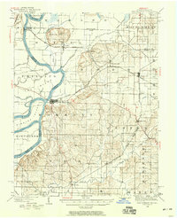
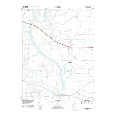
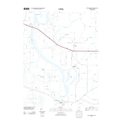
Editions of this 1903 New Harmony Map
3 editions found

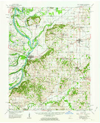
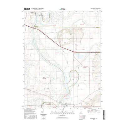
Historical Maps of Grayville Through Time
9 maps found
Featured Locations
Source Details
SourceU.S. Geological Survey
CopyrightPublic Domain