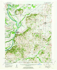
1959 Map of New Harmony
USGS Topo · Published 1976About this map
The Wabash River carves a complex, winding course through this mid-century landscape, creating a series of major river features including Kingdom Island, Fox Island, and the massive Ribeyre Island. At the heart of the region sits New Harmony, a settlement defined by its unique heritage and public spaces like Murphy Park and The Labyrinth State Mem. The map reveals a highly active agrarian and industrial district, marked by numerous Oil Field and Oil Wells operations throughout the Harmony and Hawthorne townships.
Find a feature on this map
94 named features on this map. Tap any name to fly to it.
Don’t see what you’re looking for? This feature index may not catch every label — zoom into the map to look around manually.
Map Details
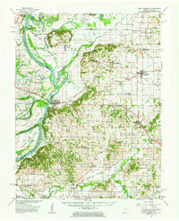
Editions of this 1959 New Harmony Map
2 editions found
Other maps of this area

1901 · Princeton
USGS Topo · 1:62,500

1901 · Haubstadt
USGS Topo · 1:62,500

1903 · Haubstadt
USGS Topo · 1:62,500

1903 · New Harmony
USGS Topo · 1:62,500

1903 · Princeton
USGS Topo · 1:62,500

1903 · Patoka
USGS Topo · 1:125,000

1904 · Mount Carmel
USGS Topo · 1:62,500

1905 · New Haven
USGS Topo · 1:62,500

1906 · New Haven
USGS Topo · 1:62,500

1914 · Henderson
USGS Topo · 1:48,000