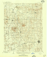
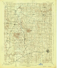
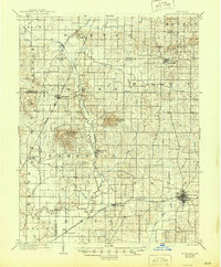
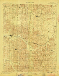
1902 Map of Boonville
USGS Topo · Published 1956About this map
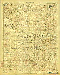
Boonville serves as the primary hub of this turn-of-the-century landscape, positioned at the intersection of a developing rail network and rural agricultural townships. The Southern railroad and the Evansville Division anchor the southern corridor, facilitating movement through Chandler and De Forest. A significant historical remnant, the Indianapolis and Evansville Canal (Abandoned), traces a north-south path through the center of the sheet, illustrating an earlier era of water-based transit that has given way to the rail lines.
Find a feature on this map
57 named features on this map. Tap any name to fly to it.
Don’t see what you’re looking for? This feature index may not catch every label — zoom into the map to look around manually.
Map Details
Editions of this 1902 Boonville Map
4 editions found
Other maps of this area

1900 · De Gonia Springs
USGS Topo · 1:62,500

1901 · Owensboro
USGS Topo · 1:62,500

1901 · Princeton
USGS Topo · 1:62,500

1901 · Haubstadt
USGS Topo · 1:62,500

1902 · Ditney
USGS Topo · 1:125,000

1902 · Degonia Springs
USGS Topo · 1:62,500

1902 · Boonville
USGS Topo · 1:62,500
1903 · Velpen
USGS Topo · 1:62,500

1903 · Haubstadt
USGS Topo · 1:62,500
1903 · Petersburg
USGS Topo · 1:62,500