Old Maps of Troy, Indiana
Explore 26 old maps of Troy, spanning from 1900 to today. These high-resolution historic maps reveal how streets, neighborhoods, landmarks, and natural features evolved over time — perfect for genealogy, metal detecting, research, and local history exploration.
What you can do with these maps:
- See how Troy changed over time: Compare historical maps to modern-day views to trace roads, homesites, rail lines & more.
- View detailed metadata: Each map includes creators, publishers, year, scale, and archive source.
- Overlay maps with satellite & LiDAR: Visualize the past alongside modern tools to explore terrain & human change.
- Trusted historical sources: Maps sourced from the USGS, Library of Congress, and other archives.
- Access maps your way: View online, download high-res files, or order prints for personal or research use.
Start exploring old maps of Troy to uncover forgotten places, hidden landmarks, and the deep history beneath your feet.
Troy, IN maps
(26)- 1900 Map of St Meinrad, 1961 Print
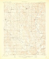
 1900 St Meinrad1961 Print · USGSSouthern Indiana at the turn of the century shows a landscape of growing rail towns and river crossings. Genealogists can trace family roots through early settlements like Santa Claus, St. Meinrad, and Mariah Hill, or locate landmarks such as Old Mill Fd.
 - 1903 Map of St. Meinrad
 1903 St. Meinrad1903 Print · USGSSouthern Indiana at the start of the twentieth century shows a landscape of rail-connected villages and the winding Anderson River. Trace the early routes of the Southern railway through Lincoln City or locate the original sites of Santa Claus and St.Meinrad.2 unique versions available
 - 1903 Map of Tell City
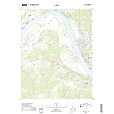
 1903 Tell City1903 Print · USGSThe Ohio River valley at the turn of the century is captured here as a vital corridor for both river and rail trade. Researchers can trace the early layouts of Tell City and Hawesville or locate smaller settlements like Knottsville and Waitman.7 unique versions available
 - 1953 Map of Tell City, 1955 Print
 1953 Tell City1955 Print · USGSThe Ohio River shoreline and its industrial valley are captured here in the early 1950s, showing the intersection of rail, river, and coal transport. Family historians can locate several family cemeteries like Henderson Cem and rural landmarks such as New Chapel or the Passenger Ferry.2 unique versions available
 - 1954 Map of Evansville
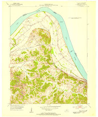
 1954 Evansville1954 Print · USGSThe Ohio River borderlands between Indiana and Kentucky appear here during a period of robust industrial and military growth. Genealogists and researchers can trace the rail corridors of the Illinois Central and find landmarks like US Lock and Dam No 48 or Camp Breckinridge.
 - 1956 Map of Vincennes, 1967 Print
 1956 Vincennes1967 Print · USGSSouthern Indiana and the Illinois borderlands are captured here in the mid-fifties, showing the region's dense network of river towns and rail lines. Researchers can trace historic river crossings along the Wabash River or locate landmarks like Wyandotte Cave and Lincoln State Park.4 unique versions available
 - 1957 Map of Vincennes
 1957 Vincennes1957 Print · USGSSouthwest Indiana and the Illinois borderlands come alive in the late 1950s, a period of heavy rail traffic and expanding state forests. Genealogists and historians can trace the riverfronts and rail lines of Vincennes, New Harmony, and the vast Crane Naval Ammunition Depot.
 - 1957 Map of Evansville, 1969 Print
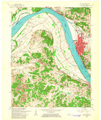
 1957 Evansville1969 Print · USGSIndiana and Kentucky meet along the Ohio River in this mid-century survey of a vital industrial and transport corridor. Genealogists and historians can trace the development of river towns like Owensboro and Newburgh or locate old rail lines like the Southern Ry.3 unique versions available
 - 1958 Map of Vincennes
 1958 Vincennes1958 Print · USGSSouthern Indiana and the Illinois borderlands are captured during a mid-century period of heavy rail traffic and military activity. Researchers can trace the sprawling bounds of the Crane Naval Ammunition Depot or locate historic settlements like New Harmony and French Lick.2 unique versions available
 - 1960 Map of Fulda, 1962 Print
 1960 Fulda1962 Print · USGSSpencer and Perry Counties are shown at the dawn of the 1960s as a landscape of tight-knit rural parishes and hilltop forests. Genealogists can trace family names through numerous remote burial grounds like Rust Cem and Butler Cem or locate old community centers such as New Boston and Fulda.3 unique versions available
 - 1961 Map of Evansville
 1961 Evansville1961 Print · USGSThe Ohio River valley and its surrounding coalfields are captured here during the late fifties and early sixties. Trace the industrial rail networks of the Illinois Central RR and explore regional landmarks like Mammoth Cave National Park and Angel Mounds State Memorial.2 unique versions available
 - 1961 Map of Tell City, 1963 Print
 1961 Tell City1963 Print · USGSThe Ohio River corridor comes alive in the early sixties as industrial Tell City and Hawesville face each other across the water. Genealogists can trace family heritage through local burial grounds like Thrasher Cem and St Columba Cem or locate the site of the old Newman Sch.5 unique versions available
 - 1986 Map of Tell City
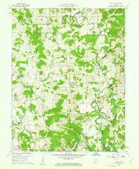
 1986 Tell City1986 Print · USGSThe Ohio River valley and the Kentucky interior come alive in this mid-eighties record of industry and recreation. Genealogists and historians can trace small rural settlements like Victoria Crossroads, local landmarks such as St Rose, and the extensive shoreline of Rough River Lake.
 - 1986 Map of Jasper
 1986 Jasper1986 Print · USGSSouthern Indiana in the 1980s is defined by the expansive Patoka Lake and the dense timber of the Hoosier National Forest. Researchers can trace the Southern RR through the hills or locate historic sites like Saint Meinrad and Sulphur Springs.
 - 1991 Map of Tell City
 1991 Tell City1991 Print · USGSThe Ohio River valley at the start of the nineties reveals a landscape of riverfront industry and sprawling conservation lands. Genealogists can locate family landmarks like Wesley Chapel and rural communities such as Reynolds Station and Maceo.
 - 1994 Map of Jasper
 1994 Jasper1994 Print · USGSSouthern Indiana and the Kentucky borderlands are captured here in the mid-nineties, showing a landscape defined by the Ohio River and dense state forests. Genealogists can locate family landmarks like Saint Meinrad Archabbey, Saint Anthony, and the historic Lincoln Boyhood National Memorial.
 - 2010 Map of Fulda, 2010 Print
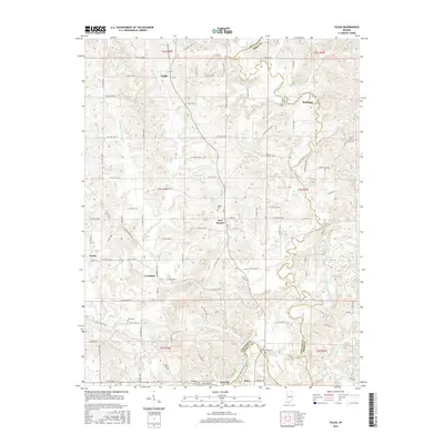
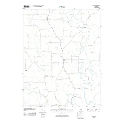 2010 Fulda2010 Print · USGSCovers Troy, including Maxville, Fulda, and other nearby areas
 - 2010 Map of Tell City, 2010 Print
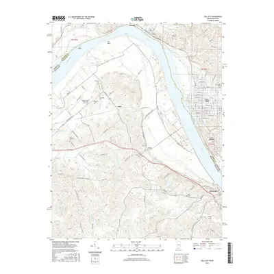
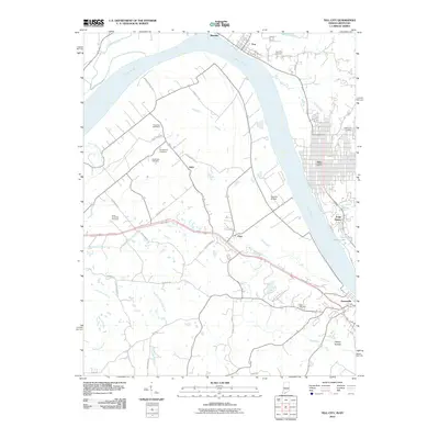 2010 Tell City2010 Print · USGSCovers Troy, including Tell City, Cannelton, and other nearby areas
 - 2013 Map of Fulda, 2013 Print
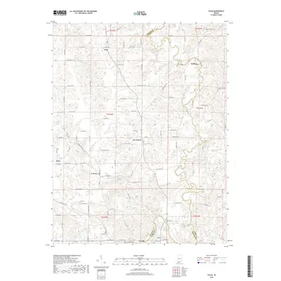
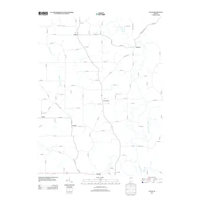 2013 Fulda2013 Print · USGSCovers Troy, including Maxville, Fulda, and other nearby areas
 - 2013 Map of Tell City, 2013 Print
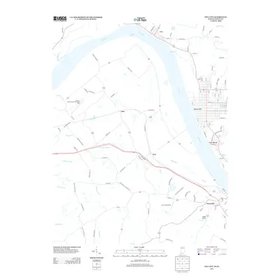 2013 Tell City2013 Print · USGSCovers Troy, including Tell City, Cannelton, and other nearby areas
 - 2016 Map of Tell City, 2016 Print
 2016 Tell City2016 Print · USGSCovers Troy, including Tell City, Cannelton, and other nearby areas
 - 2016 Map of Fulda, 2016 Print
 2016 Fulda2016 Print · USGSCovers Troy, including Maxville, Fulda, and other nearby areas
 - 2019 Map of Tell City, 2019 Print
 2019 Tell City2019 Print · USGSCovers Troy, including Tell City, Cannelton, and other nearby areas
 - 2019 Map of Fulda, 2019 Print
 2019 Fulda2019 Print · USGSCovers Troy, including Maxville, Fulda, and other nearby areas
 - 2022 Map of Tell City, 2022 Print
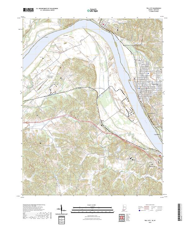 2022 Tell City2022 Print · USGSThe Ohio River borderlands between Indiana and Kentucky are showcased here at the turn of the decade. Genealogists can trace family sites like Mount Calvary Cem and Ayres Cem near Tell City and Hawesville.
Showing maps 1-25 of 26
Top cities near Troy
- Tell City historical maps
- Ferdinand historical maps
- Lewisport historical maps
- Dale historical maps
- Cannelton historical maps
- Cloverport historical maps
See more
Frequently asked questions
- What are the different types of historical maps available for Troy?
- What is the oldest map of Troy?
- Where can I purchase historical maps of Troy for my home or office?
- Where can I download high-res historical maps of Troy?
- Are there historical topographic maps available for Troy?
- Is there historical aerial imagery available for Troy?
- Where are historical maps of Troy sourced from?