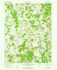
1960 Map of Fulda
USGS Topo · Published 1962About this map
The Anderson River carves a winding path through the borderlands of Spencer and Perry Counties, defining a landscape of timbered ridges and small farming communities in the early 1960s. Religious life is deeply etched into the geography, seen through established parishes such as St Bonifacius Ch in Fulda and St John Chrysostoms Ch in New Boston. The southern portion of the map reveals the era's transport and industrial footprint, where the Southern railroad passes through Evanston and Schley, nearby to active Strip Mines. Family history is preserved in numerous rural burial grounds like Huffman Cem, Avery Cem, and McDaniel Cem, while state-managed lands at Spencer Co State Forest and Ferdinand State Forest protect the high ground of Avery Ridge.
Find a feature on this map
38 named features on this map. Tap any name to fly to it.
Don’t see what you’re looking for? This feature index may not catch every label — zoom into the map to look around manually.
Map Details
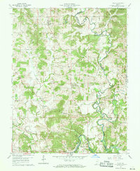
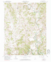
Editions of this 1960 Fulda Map
3 editions found
Other maps of this area

1900 · St Meinrad
USGS Topo · 1:62,500

1903 · St. Meinrad
USGS Topo · 1:62,500

1903 · Tell City
USGS Topo · 1:62,500

1934 · Cannelton
USGS Topo · 1:62,500

1949 · Cannelton
USGS Topo · 1:24,000

1953 · Cannelton
USGS Topo · 1:24,000

1953 · Lewisport
USGS Topo · 1:24,000

1953 · Tell City
USGS Topo · 1:24,000

1954 · Evansville
USGS Topo · 1:250,000

1956 · Vincennes
USGS Topo · 1:250,000