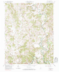
1960 Map of Fulda
USGS Topo · Published 1985About this map
St Bonifacius Ch stands as a central landmark in the settlement of Fulda, anchoring a rural landscape defined by the winding course of the Anderson River. This 1960 field-checked survey reveals a region of Southern Indiana deeply connected by the Southern railroad line, which passes through Evanston and near Schley. The map documents a significant concentration of Catholic parish life, with St Johns Ch, St John Chrysostom Ch, and St Peters Ch serving scattered communities across Harrison and Huff townships.
Find a feature on this map
41 named features on this map. Tap any name to fly to it.
Don’t see what you’re looking for? This feature index may not catch every label — zoom into the map to look around manually.
Map Details
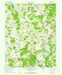
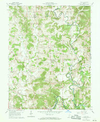
Editions of this 1960 Fulda Map
3 editions found
Other maps of this area

1900 · St Meinrad
USGS Topo · 1:62,500

1903 · St. Meinrad
USGS Topo · 1:62,500

1903 · Tell City
USGS Topo · 1:62,500

1934 · Cannelton
USGS Topo · 1:62,500

1949 · Cannelton
USGS Topo · 1:24,000

1953 · Cannelton
USGS Topo · 1:24,000

1953 · Lewisport
USGS Topo · 1:24,000

1953 · Tell City
USGS Topo · 1:24,000

1954 · Evansville
USGS Topo · 1:250,000

1956 · Vincennes
USGS Topo · 1:250,000