2020s Maps of Troy, Indiana
Explore 2 historic maps of Troy from the 2020s. These maps offer a rare glimpse into what life looked like during the 2020s — showing old roads, neighborhoods, homes, and landmarks that have changed or disappeared over time.
Whether you're researching your family's past, planning a metal detecting trip, or studying how Troy's landscape evolved across the 2020s, these high-resolution maps are a powerful tool for exploring the history of this region.
- Focus on a specific era: All maps on this page are from the 2020s, giving you a focused view of this time period.
- See what’s changed: Compare century-old streets, trails, and buildings to today's modern landscape using overlays and satellite layers.
- Research with precision: Use these maps for genealogy, historical research, land use analysis, or educational projects.
- View, download, or print: Maps are fully viewable online in high resolution, and can be downloaded or printed for your own records.
Start exploring Troy's history through authentic maps from the 2020s. This is your window into the past.
Troy, IN maps
(2)- 2022 Map of Tell City, 2022 Print
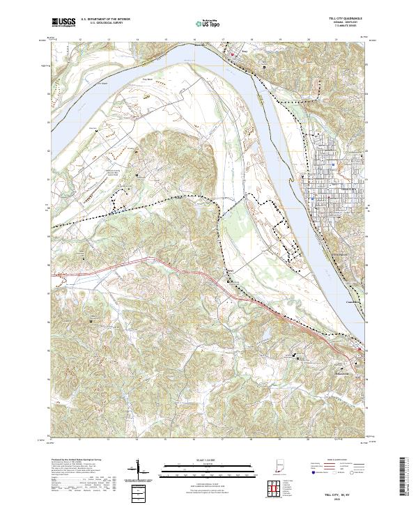 2022 Tell City2022 Print · USGSThe Ohio River borderlands between Indiana and Kentucky are showcased here at the turn of the decade. Genealogists can trace family sites like Mount Calvary Cem and Ayres Cem near Tell City and Hawesville.
 - 2022 Map of Fulda, 2022 Print
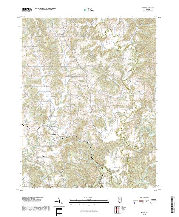 2022 Fulda2022 Print · USGSSpencer and Perry counties at the start of the 2020s remain defined by their river valleys and deep-rooted family settlements. Genealogists can trace local lineages through numerous burial sites like Butler Cem and Rust Cem or locate the quiet crossroads of Schley and Huffman.
End of results
Showing maps 1-2 of 2
Top cities near Troy
- Tell City historical maps
- Ferdinand historical maps
- Lewisport historical maps
- Dale historical maps
- Cannelton historical maps
- Cloverport historical maps
See more
Frequently asked questions
- What are the different types of historical maps available for Troy?
- What is the oldest map of Troy?
- Where can I purchase historical maps of Troy for my home or office?
- Where can I download high-res historical maps of Troy?
- Are there historical topographic maps available for Troy?
- Is there historical aerial imagery available for Troy?
- Where are historical maps of Troy sourced from?