
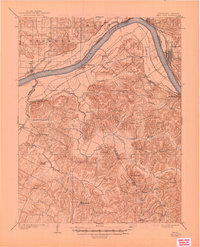
1903 Map of Tell City
USGS Topo · Published 1903About this map
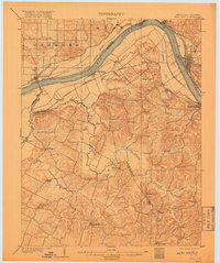
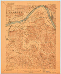
The Ohio River defines the landscape of this 1903 survey, where it separates the industry and riverfronts of Tell City and Hawesville. The river meanders past Corn Island and Grandview, serving as the primary commercial artery for the region before the modern age of interstate travel. Transportation is further facilitated by the Southern R.R. (Cannellton Branch) and the Louisville Henderson and St Louis RR, which trace the riverbanks and connect small settlements like Waitman and Petri.
Find a feature on this map
61 named features on this map. Tap any name to fly to it.
Don’t see what you’re looking for? This feature index may not catch every label — zoom into the map to look around manually.
Map Details
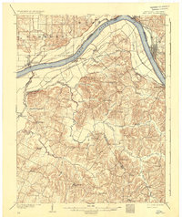
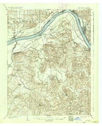
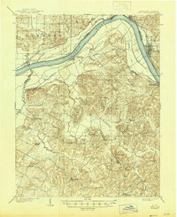
Editions of this 1903 Tell City Map
7 editions found
Other maps of this area

1900 · St Meinrad
USGS Topo · 1:62,500

1900 · De Gonia Springs
USGS Topo · 1:62,500

1901 · Owensboro
USGS Topo · 1:62,500

1902 · Ditney
USGS Topo · 1:125,000

1902 · Degonia Springs
USGS Topo · 1:62,500

1903 · St. Meinrad
USGS Topo · 1:62,500

1906 · Sutherland
USGS Topo · 1:62,500

1907 · Whitesville
USGS Topo · 1:62,500

1909 · Whitesville
USGS Topo · 1:62,500

1932 · Fordsville
USGS Topo · 1:62,500