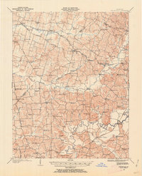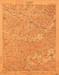
1909 Map of Whitesville
USGS Topo · Published 1909About this map
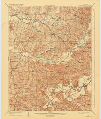
Whitesville serves as the central hub for this rural landscape in Daviess and Ohio counties during the first decade of the 1900s. The region is defined by a dense network of country schools and churches, reflecting a period when community life was anchored in local institutions like Thompson School, Little Zion Church, and Old Panther Church. Transportation relies heavily on established routes like the Owensboro Road and the Leitchfield Road, alongside traditional river crossings such as Harts Ford and Combs Ford on the winding Rough River. The area shows a transition from small post offices like Whalen PO and Aetnaville PO to more established settlements. Local commerce is evident at spots like Hewletts Store and Bellamy Store, providing a detailed view of the rural Kentucky economy and its social geography before the dominance of the automobile.
Find a feature on this map
100 named features on this map. Tap any name to fly to it.
Don’t see what you’re looking for? This feature index may not catch every label — zoom into the map to look around manually.
Map Details
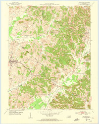
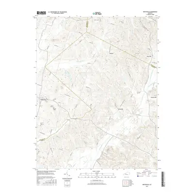
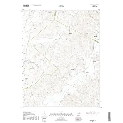
Editions of this 1909 Whitesville Map
2 editions found
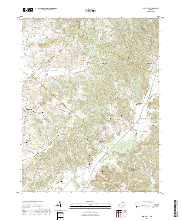
Historical Maps of Whitesville Through Time
8 maps found