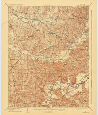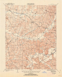
1907 Map of Whitesville
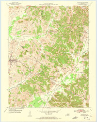
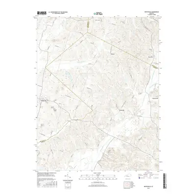
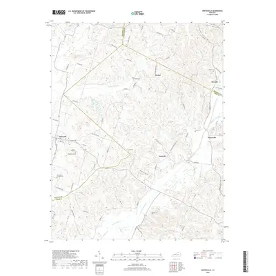
USGS Topo · Published 1962About this map
Whitesville and the surrounding rural communities of Daviess and Ohio counties are defined by a dense network of country schools and churches at the turn of the century. The landscape is carved by the North Fork Panther Creek and the meandering Rough River, where Harts Ford and Combs Ford provided essential river crossings before modern bridging was widespread. This 1907 survey captures a period of localized settlement where small crossroads like Oklahoma, Adaburg, and Aetnaville served as social hubs, each supported by institutions like Providence Church or Walnut Grove School. The presence of Hewletts Store and Bellamy Store alongside the Louisville And Nashville rail line highlights the early commercial infrastructure connecting these agrarian towns to larger markets. For those tracing Kentucky ancestry, the map identifies numerous family-named landmarks and rural landmarks such as Branham Hall and Sarvise Hill School.
Find a feature on this map
102 named features on this map. Tap any name to fly to it.
Don’t see what you’re looking for? This feature index may not catch every label — zoom into the map to look around manually.
Map Details
Editions of this 1907 Whitesville Map
This is the sole edition of this map. No revisions or reprints were ever made.
Historical Maps of Whitesville Through Time
8 maps found