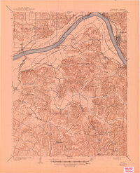
1903 Map of Tell City
USGS Topo · Published 1945About this map
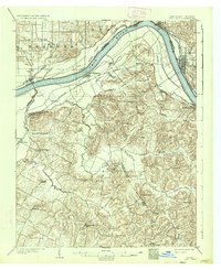
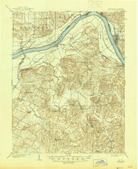
The Ohio River forms a wide, sweeping bend that defines this riverine landscape at the start of the twentieth century, serving as the border between Indiana and Kentucky. On the northern bank, the industrial character of Tell City and Grandview stands in contrast to the rural stretches of Hammond and Troy townships. South of the river, the Louisville and Henderson railroad cuts across the lowlands, connecting river towns like Lewisport and Waitman to the interior.
Find a feature on this map
50 named features on this map. Tap any name to fly to it.
Don’t see what you’re looking for? This feature index may not catch every label — zoom into the map to look around manually.
Map Details
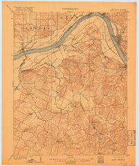
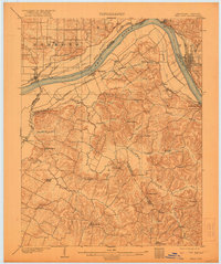
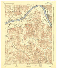
Editions of this 1903 Tell City Map
7 editions found
Other maps of this area

1900 · St Meinrad
USGS Topo · 1:62,500

1900 · De Gonia Springs
USGS Topo · 1:62,500

1901 · Owensboro
USGS Topo · 1:62,500

1902 · Ditney
USGS Topo · 1:125,000

1902 · Degonia Springs
USGS Topo · 1:62,500

1903 · St. Meinrad
USGS Topo · 1:62,500

1903 · Tell City
USGS Topo · 1:62,500

1906 · Sutherland
USGS Topo · 1:62,500

1907 · Whitesville
USGS Topo · 1:62,500

1909 · Whitesville
USGS Topo · 1:62,500