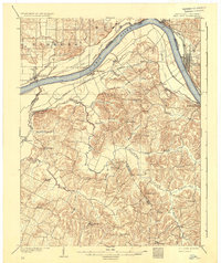
1903 Map of Tell City
USGS Topo · Published 1934About this map
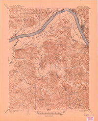
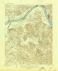
The Ohio River carves a deep bend through this turn-of-the-century landscape, separating the river towns of Tell City and Troy in Indiana from Hawesville and Lewisport in Kentucky. The river corridor is a hub of turn-of-the-century transit, featuring the Southern R.R. (Cannellton Branch) and river features like Corn Island and Corn Island Slough. Inland from the floodplain, a dense network of small agricultural and church-centered communities spans the borderlands, including Knottsville, Pellville, and St. Lawrence. Local landmarks such as Spice Knob and Indian Hill rise above the drainage basins of Blackford Creek and Yellow Creek, illustrating the dissection of the plateau by numerous winding tributaries. This survey captures a moment when rural life centered around community nodes like St. Louis Ch. and the Catholic Ch., long before modern infrastructure bypassed these smaller crossroad settlements.
Find a feature on this map
57 named features on this map. Tap any name to fly to it.
Don’t see what you’re looking for? This feature index may not catch every label — zoom into the map to look around manually.
Map Details
Editions of this 1903 Tell City Map
7 editions found
Other maps of this area

1900 · St Meinrad
USGS Topo · 1:62,500

1900 · De Gonia Springs
USGS Topo · 1:62,500

1901 · Owensboro
USGS Topo · 1:62,500

1902 · Ditney
USGS Topo · 1:125,000

1902 · Degonia Springs
USGS Topo · 1:62,500

1903 · St. Meinrad
USGS Topo · 1:62,500

1903 · Tell City
USGS Topo · 1:62,500

1906 · Sutherland
USGS Topo · 1:62,500

1907 · Whitesville
USGS Topo · 1:62,500

1909 · Whitesville
USGS Topo · 1:62,500