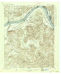
1903 Map of Tell City
USGS Topo · Published 1934About this map
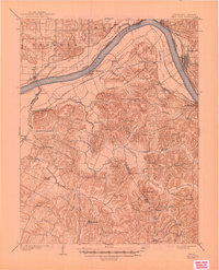
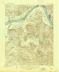
The Ohio River dominates this turn-of-the-century landscape, acting as a winding border between Indiana and Kentucky. On the northern banks, the industrial centers of Tell City and Troy are served by the Southern R.R. (Cannellton Branch), while the Kentucky side features the prominent riverfront settlement of Hawesville. The interior of the Kentucky side is defined by a dense network of creek valleys, including Blackford Creek and Caney Creek, which create a complex topography that historically isolated small communities like Knottsville, St. Lawrence, and Pellville.
Find a feature on this map
51 named features on this map. Tap any name to fly to it.
Don’t see what you’re looking for? This feature index may not catch every label — zoom into the map to look around manually.
Map Details
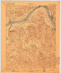
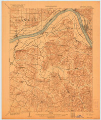
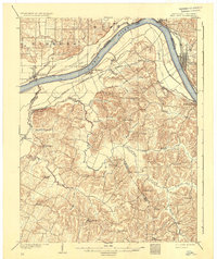
Editions of this 1903 Tell City Map
7 editions found
Other maps of this area

1900 · St Meinrad
USGS Topo · 1:62,500

1900 · De Gonia Springs
USGS Topo · 1:62,500

1901 · Owensboro
USGS Topo · 1:62,500

1902 · Ditney
USGS Topo · 1:125,000

1902 · Degonia Springs
USGS Topo · 1:62,500

1903 · St. Meinrad
USGS Topo · 1:62,500

1903 · Tell City
USGS Topo · 1:62,500

1906 · Sutherland
USGS Topo · 1:62,500

1907 · Whitesville
USGS Topo · 1:62,500

1909 · Whitesville
USGS Topo · 1:62,500