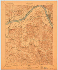
1903 Map of Tell City
USGS Topo · Published 1921About this map
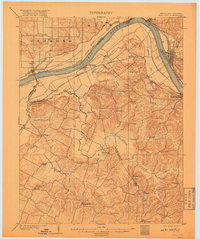
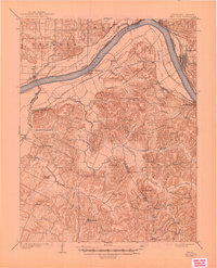
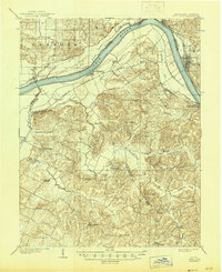
The Ohio River dominates this early twentieth-century survey, acting as both a critical commercial artery and the dividing line between the Indiana and Kentucky border. On the Indiana shore, the industrial layout of Tell City and the riverfront of Grandview are clearly defined, while Hawesville sits directly across the water in Kentucky. Inland, the map reveals a landscape of small agricultural settlements and crossroads like Knottsville, Yelvington, and Pellville, which are connected by a web of early transit routes including the Louisville and Henderson road and the Southern R.R. (Cannellton Branch). The complex drainage of the region is evident through features like Corn Island Slough and numerous creeks such as Blackford Creek and Yellow Creek, while landmarks like Spice Knob and Indian Hill break the undulating terrain. This map documents the rural and riverine character of the area before modern infrastructure altered the flow of local trade and movement.
Find a feature on this map
55 named features on this map. Tap any name to fly to it.
Don’t see what you’re looking for? This feature index may not catch every label — zoom into the map to look around manually.
Map Details
Editions of this 1903 Tell City Map
7 editions found
Other maps of this area

1900 · St Meinrad
USGS Topo · 1:62,500

1900 · De Gonia Springs
USGS Topo · 1:62,500

1901 · Owensboro
USGS Topo · 1:62,500

1902 · Ditney
USGS Topo · 1:125,000

1902 · Degonia Springs
USGS Topo · 1:62,500

1903 · St. Meinrad
USGS Topo · 1:62,500

1903 · Tell City
USGS Topo · 1:62,500

1906 · Sutherland
USGS Topo · 1:62,500

1907 · Whitesville
USGS Topo · 1:62,500

1909 · Whitesville
USGS Topo · 1:62,500