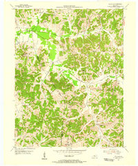
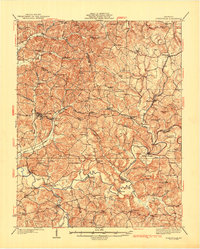
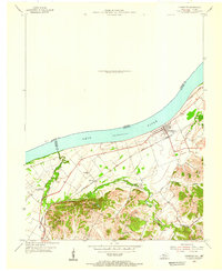
1953 Map of Pellville
USGS Topo · Published 1955About this map
Pellville and the surrounding rural uplands of the Hancock-Daviess County line are captured here in the early 1950s. The landscape is a network of small agricultural settlements and communal hubs including Weberstown, Floral, and Goering, often centered around country churches such as Concord Ch and Blackford Ch. This era shows a transition in land use, where traditional farming along Blackford Creek and Caney Creek met emerging industrial activity. An Oil Field and Strip Mine are visible, signaling the extraction of regional natural resources. For the family historian, the map provides precise locations for the St Lawrence Sch and several family-named landmarks like Chambers Cem and Lamar Cem, which anchor the heritage of these wooded hills and hollows.
Find a feature on this map
32 named features on this map. Tap any name to fly to it.
Don’t see what you’re looking for? This feature index may not catch every label — zoom into the map to look around manually.
Map Details
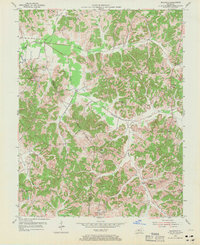
Editions of this 1953 Pellville Map
2 editions found
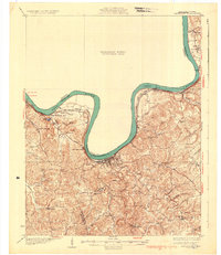
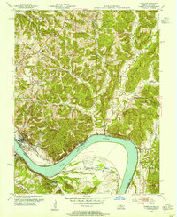
Other maps of this area

1903 · Tell City
USGS Topo · 1:62,500
1907 · Whitesville
USGS Topo · 1:62,500
1909 · Whitesville
USGS Topo · 1:62,500
1932 · Fordsville
USGS Topo · 1:62,500
1934 · Cannelton
USGS Topo · 1:62,500
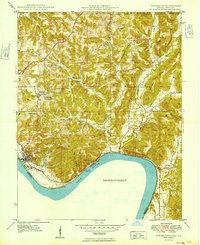
1949 · Cannelton
USGS Topo · 1:24,000
1953 · Cannelton
USGS Topo · 1:24,000

1953 · Philpot
USGS Topo · 1:24,000
1953 · Lewisport
USGS Topo · 1:24,000
1953 · Cloverport
USGS Topo · 1:24,000