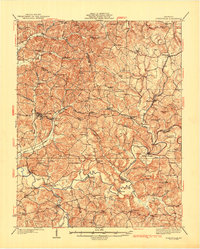
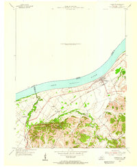
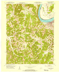
1953 Map of Pellville
USGS Topo · Published 1970About this map
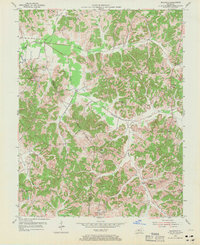
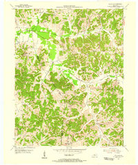
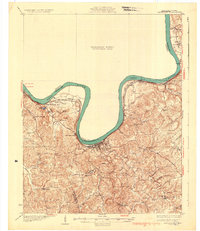
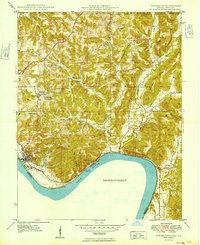
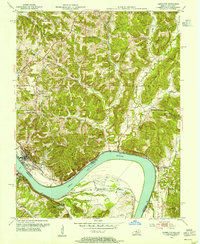
Pellville and the surrounding borderlands of Hancock and Daviess Counties are defined by a deeply dissected landscape where winding creek valleys separate narrow ridges. In the early 1950s, this rural Kentucky region was organized around small community hubs such as Weberstown, Floral, and Utility. Local life centered on numerous country churches, including Friendly Grove Ch and Mt Eden Ch, and the combined community presence of St Lawrence Ch and St Lawrence Sch in the southwest.
Find a feature on this map
27 named features on this map. Tap any name to fly to it.
Don’t see what you’re looking for? This feature index may not catch every label — zoom into the map to look around manually.
Map Details
Editions of this 1953 Pellville Map
2 editions found
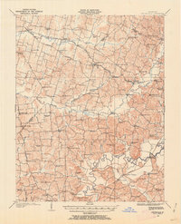
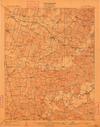
Other maps of this area

1903 · Tell City
USGS Topo · 1:62,500
1907 · Whitesville
USGS Topo · 1:62,500
1909 · Whitesville
USGS Topo · 1:62,500
1932 · Fordsville
USGS Topo · 1:62,500
1934 · Cannelton
USGS Topo · 1:62,500
1949 · Cannelton
USGS Topo · 1:24,000
1953 · Cannelton
USGS Topo · 1:24,000

1953 · Philpot
USGS Topo · 1:24,000
1953 · Lewisport
USGS Topo · 1:24,000
1953 · Cloverport
USGS Topo · 1:24,000