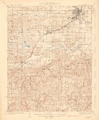
1925 Map of Harrisburg
USGS Topo · Published 1925About this map
Harrisburg and its industrial satellites anchor this 1920s survey of southern Illinois, where the confluence of coal and rail shaped the landscape. Evidence of the region’s mining economy is clear at Wasson Mine No 2, while the Illinois Central Railroad and Chicago Cleveland Cincinnati and St Louis Railway provide the vital connections between settlements like Carrier Mills and Ledford. The terrain shifts from the developed rail corridors in the north to more complex topography in the south, characterized by features such as Murray Bluff and Buzzardroost Hollow.
Find a feature on this map
104 named features on this map. Tap any name to fly to it.
Don’t see what you’re looking for? This feature index may not catch every label — zoom into the map to look around manually.
Map Details
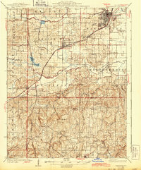
Editions of this 1925 Harrisburg Map
3 editions found

Other maps of this area

1905 · Eldorado
USGS Topo · 1:62,500

1906 · Eldorado
USGS Topo · 1:62,500

1908 · Galatia
USGS Topo · 1:62,500

1909 · West Frankfort
USGS Topo · 1:62,500

1916 · Golconda
USGS Topo · 1:62,500

1916 · Equality
USGS Topo · 1:62,500

1917 · Brownfield
USGS Topo · 1:62,500

1918 · Vienna
USGS Topo · 1:62,500

1919 · Vienna
USGS Topo · 1:62,500

1920 · Goloonda
USGS Topo · 1:48,000