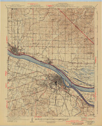
1929 Map of Paducah
USGS Topo · Published 1942About this map
Paducah serves as the dominant hub at the confluence of the Ohio River and Tennessee River, depicted here as a dense grid of urban growth surrounded by specialized early 20th-century institutions and scattered rural settlements. The infrastructure of the era is anchored by the Illinois Central RR and the Nashville Chattanooga and St Louis Ry, which facilitated the movement of goods across the state line into Illinois via Brookport and Metropolis. Beyond the city center, the map reveals a landscape transitioning from the industrial riverfront to agricultural and residential outskirts like Lone Oak and Evandale Heights.
Find a feature on this map
91 named features on this map. Tap any name to fly to it.
Don’t see what you’re looking for? This feature index may not catch every label — zoom into the map to look around manually.
Map Details
Editions of this 1929 Paducah Map
4 editions found
Other maps of this area

1916 · Golconda
USGS Topo · 1:62,500

1917 · Brownfield
USGS Topo · 1:62,500

1918 · Vienna
USGS Topo · 1:62,500

1919 · Vienna
USGS Topo · 1:62,500

1920 · Goloonda
USGS Topo · 1:48,000

1921 · Golconda
USGS Topo · 1:62,500

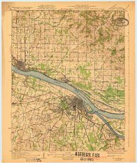
1926 · Paducah
USGS Topo · 1:62,500

1928 · La Center
USGS Topo · 1:62,500

1929 · Smithland
USGS Topo · 1:62,500

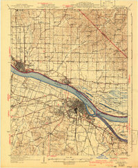
1929 · Paducah
USGS Topo · 1:62,500