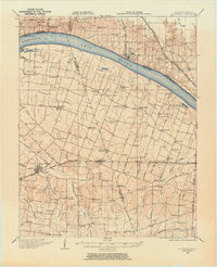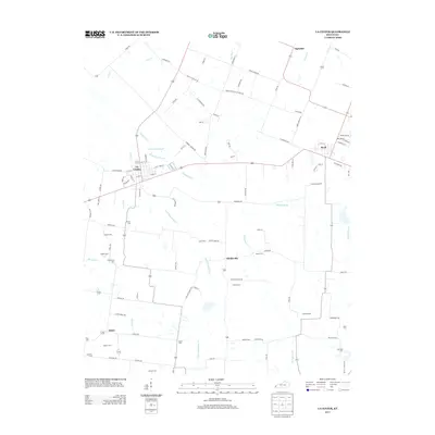
1932 Map of La Center
USGS Topo · Published 1932About this map
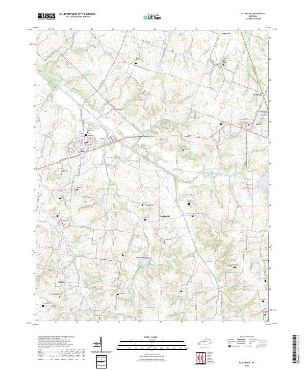
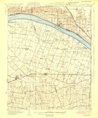
The Ohio River dominates this landscape, serving as a political and industrial boundary between Kentucky and Illinois. Along its banks, the Grand Chain Landing and Rossington Landing mark the points where the river economy met the agrarian interior. Further inland, the settlement of La Center serves as a hub for the surrounding countryside, which is densely peppered with family-named schools and community institutions such as Gum Corners Sch, Bumley Sch, and Newtons Creek Ch.
Find a feature on this map
102 named features on this map. Tap any name to fly to it.
Don’t see what you’re looking for? This feature index may not catch every label — zoom into the map to look around manually.
Map Details
Editions of this 1932 La Center Map
This is the sole edition of this map. No revisions or reprints were ever made.
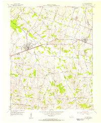
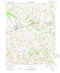
Historical Maps of La Center Through Time
9 maps found